 dust and starlight
Utah / Nevada
Utah
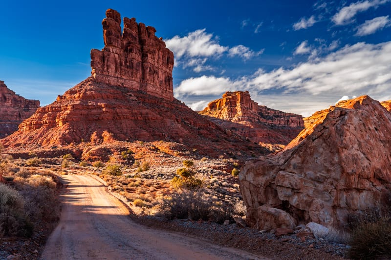
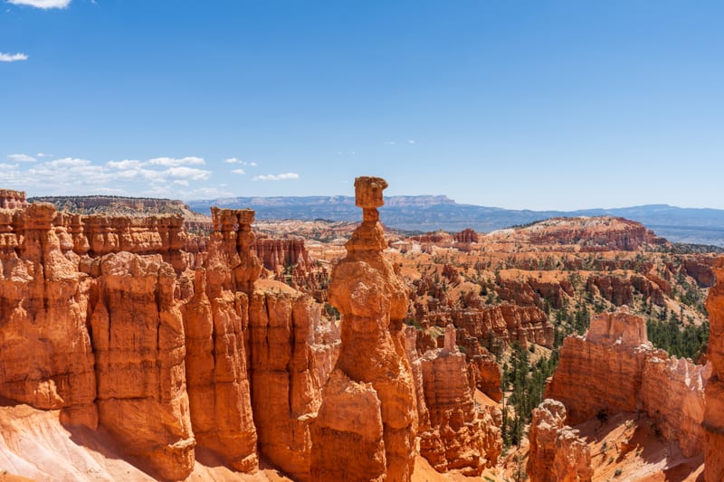
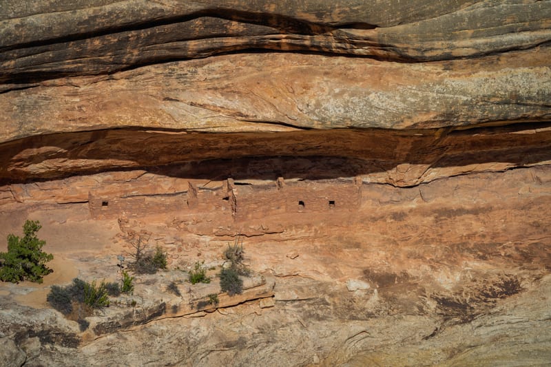
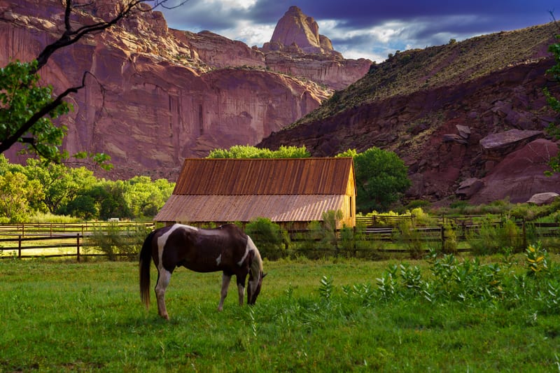
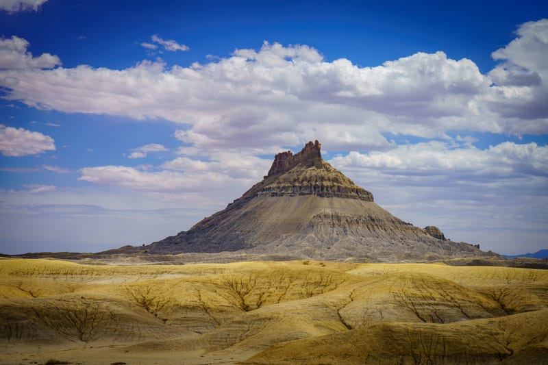
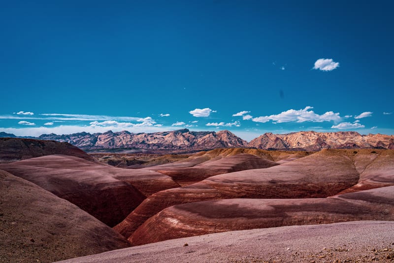
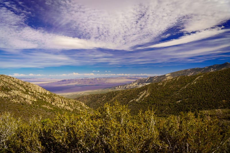
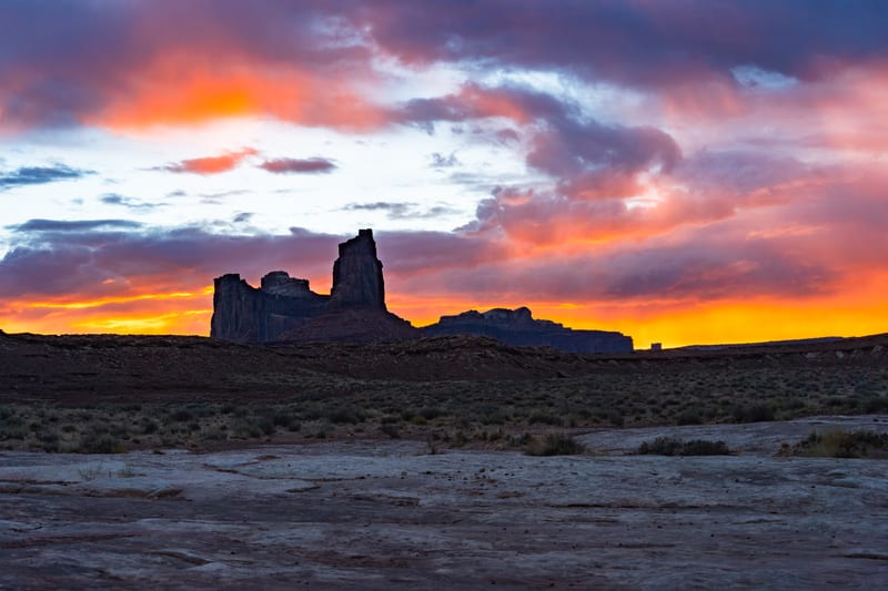
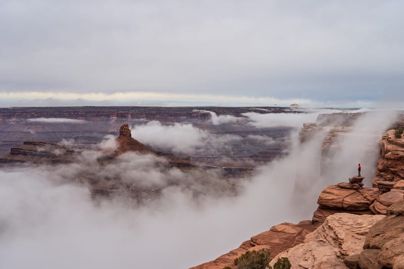
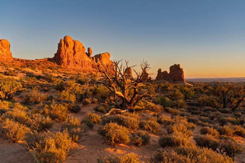
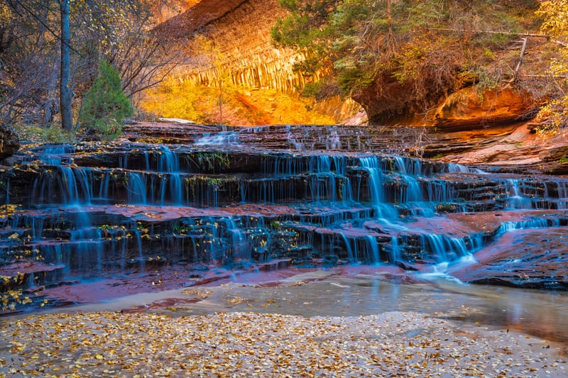
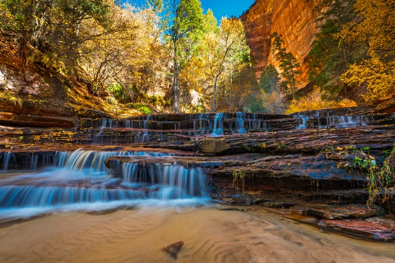
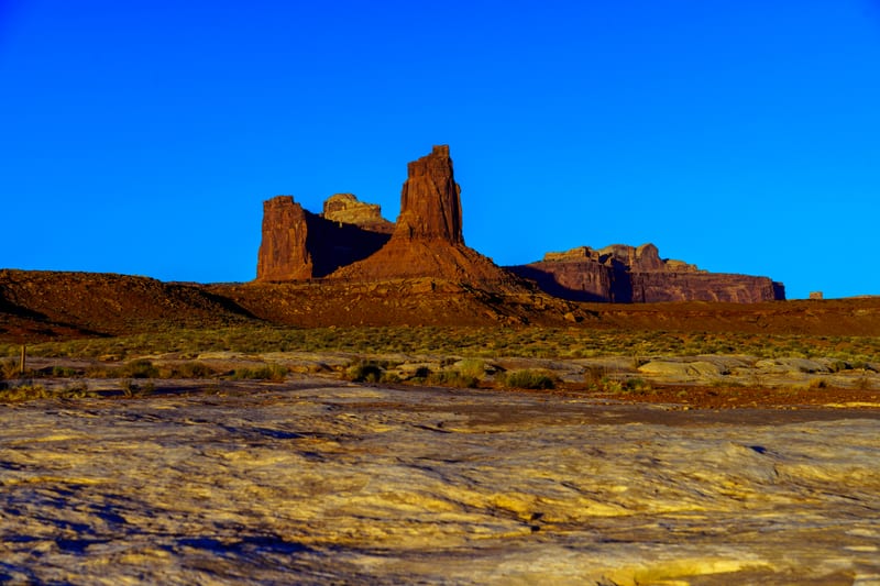
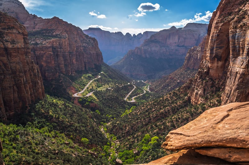
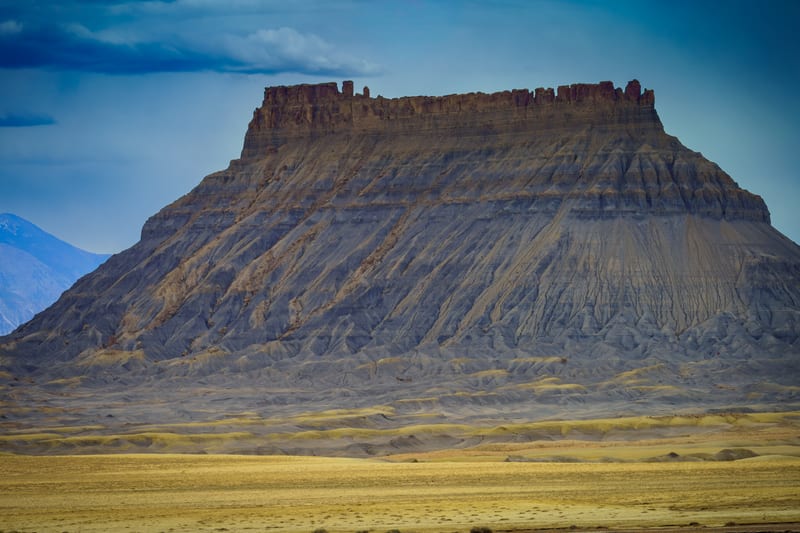
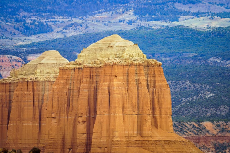
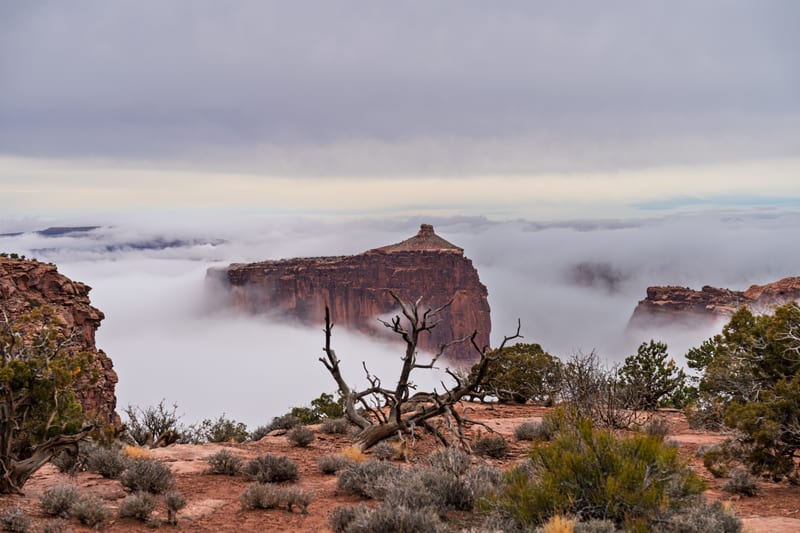
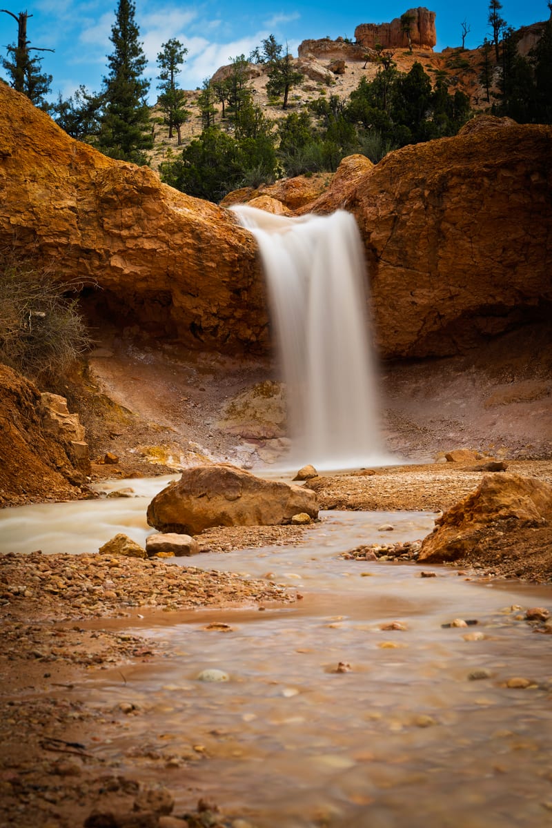
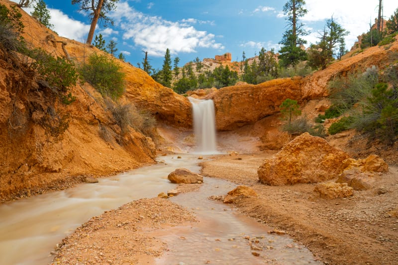
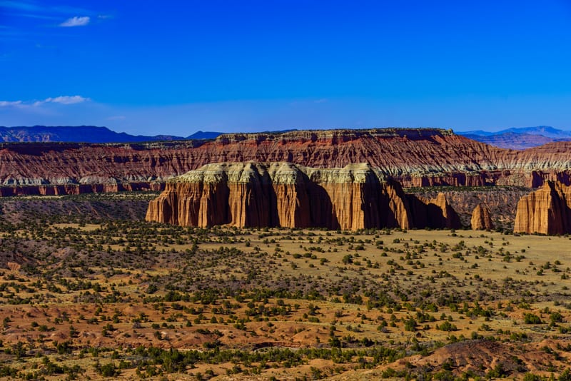
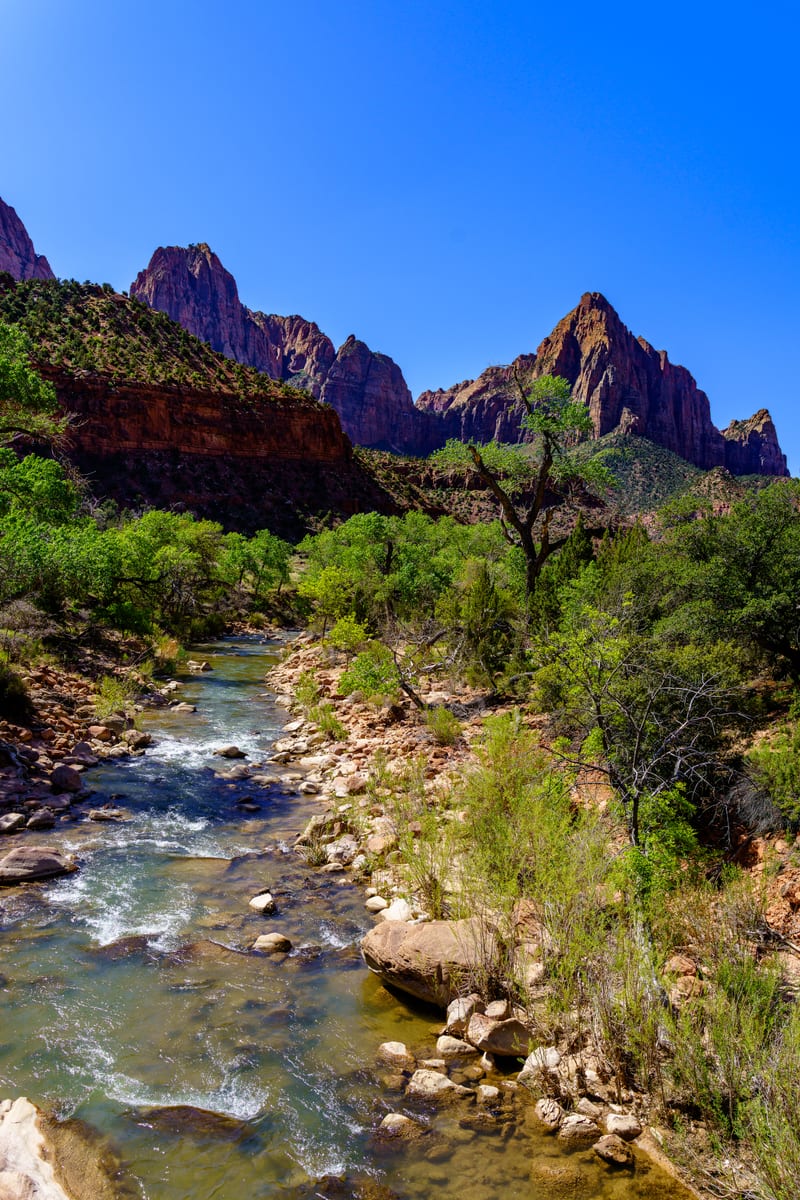
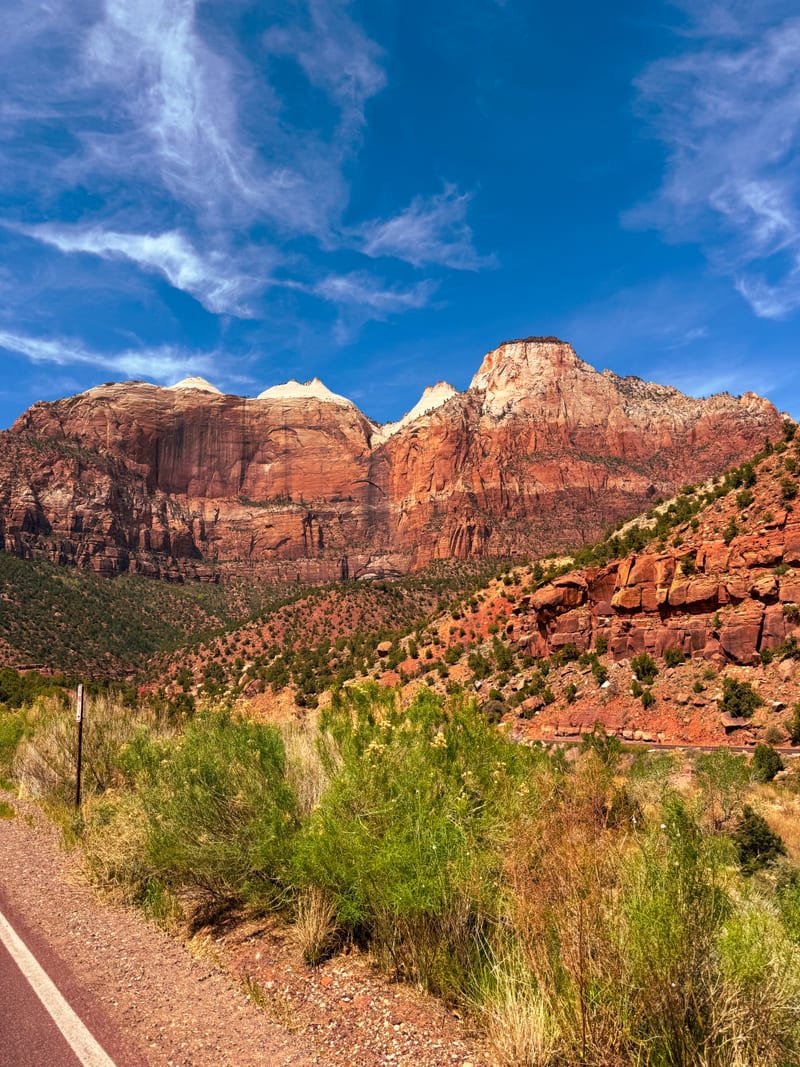
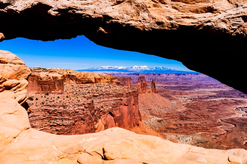
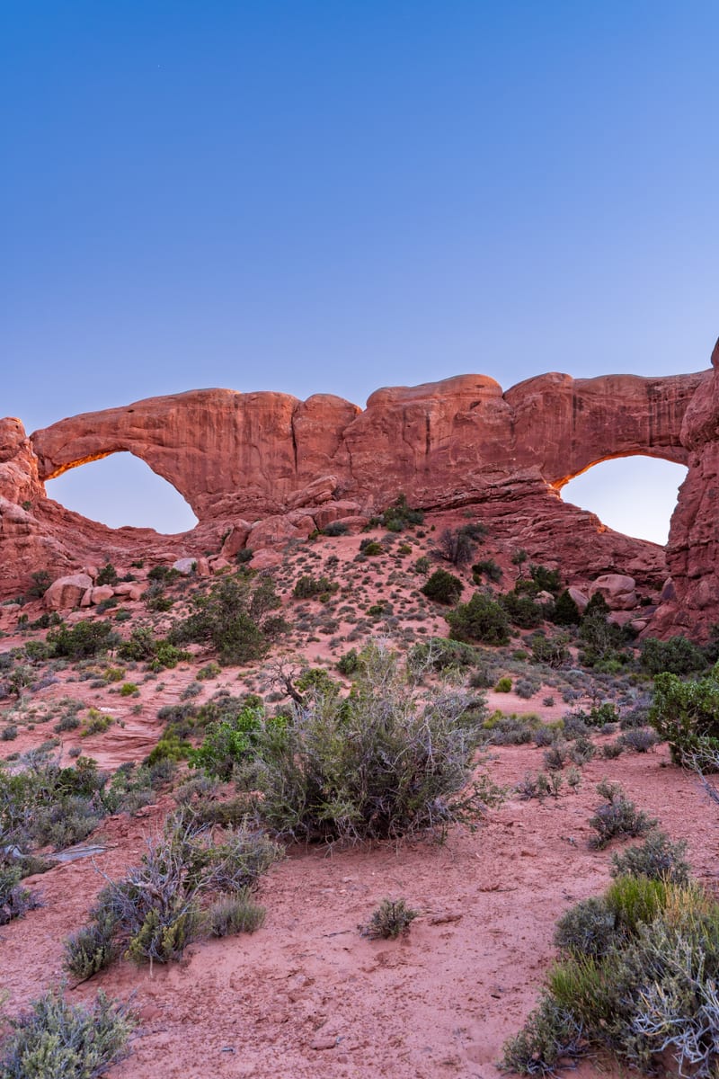
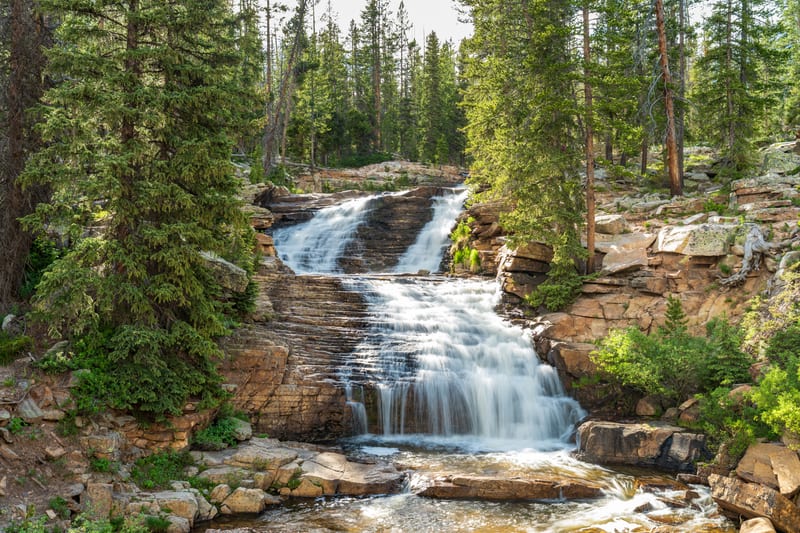
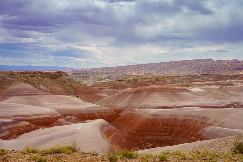
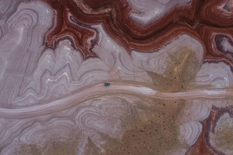
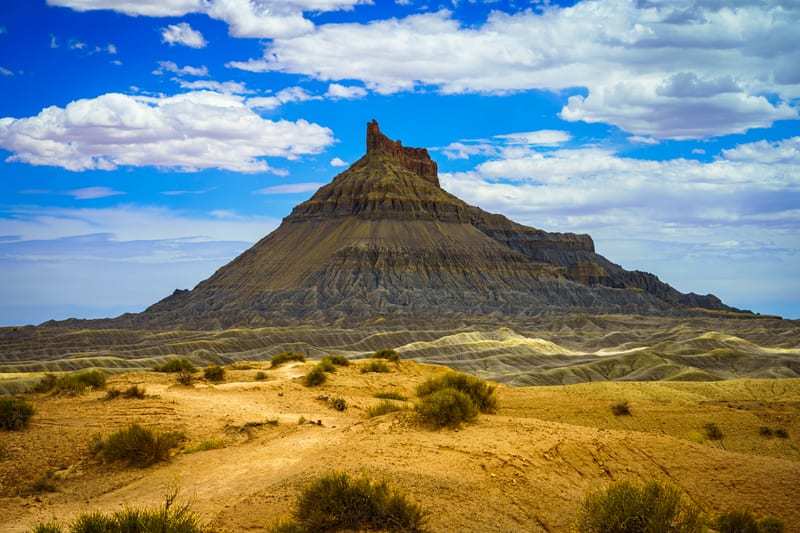
Utah in six regions: the Wasatch and the Uintas in the north, the West Desert out to Great Basin National Park over the Nevada line, and the red rock country of the south: Zion, Bryce Canyon, Capitol Reef, Arches and Canyonlands national parks, the San Rafael Swell, Factory Butte, Natural Bridges and Valley of the Gods.
6 regions · 14 places · 115 photos
Map of Utah: 6 regions, Zion and Bryce Canyon, Southeast Utah, Capitol Reef and Central Utah, Northern Utah, Great Basin and Utah's West Desert and Arches and Canyonlands

- 1–9 photos
- 10–49 photos
- 50+ photos
The regions
All placesHighlights
One from each place
Every photo from here
Newest first
115 photos

Field notes
Our story
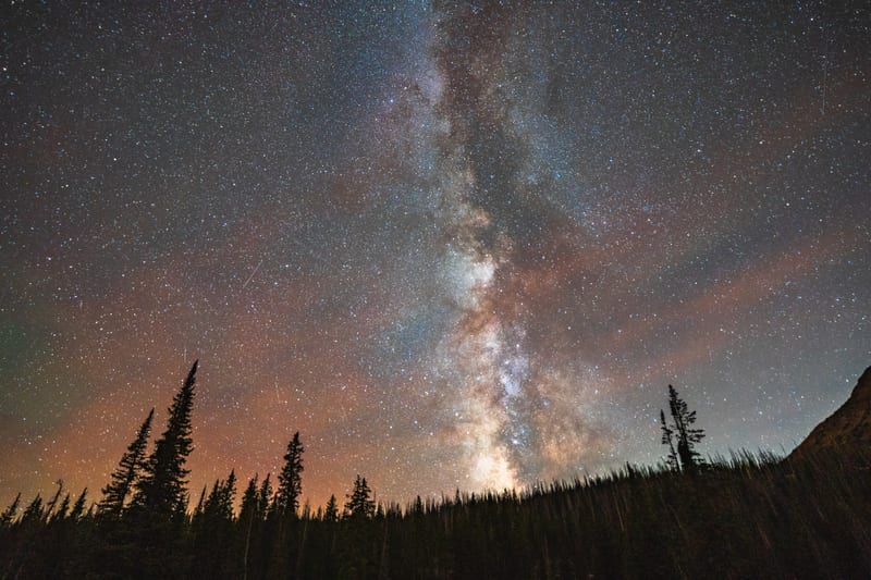
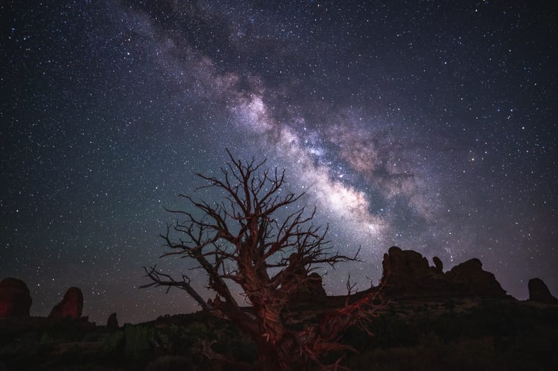
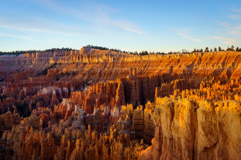
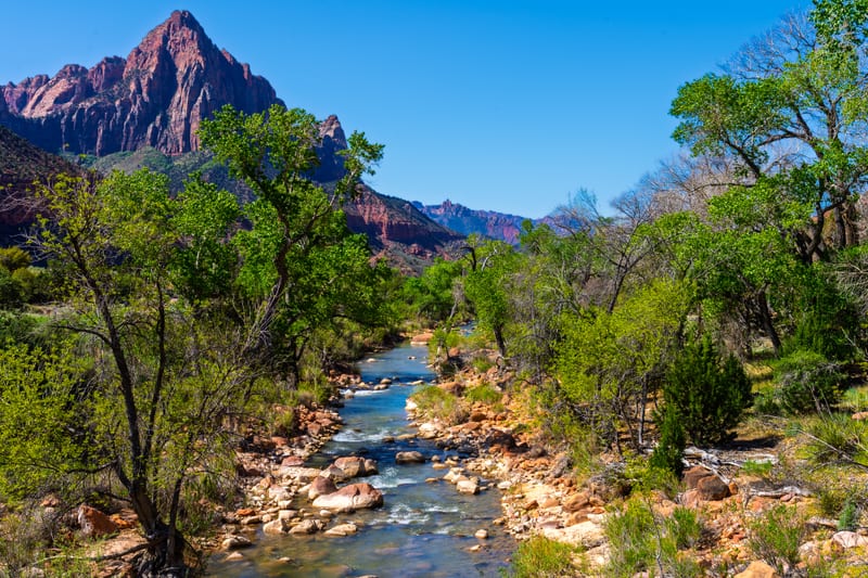
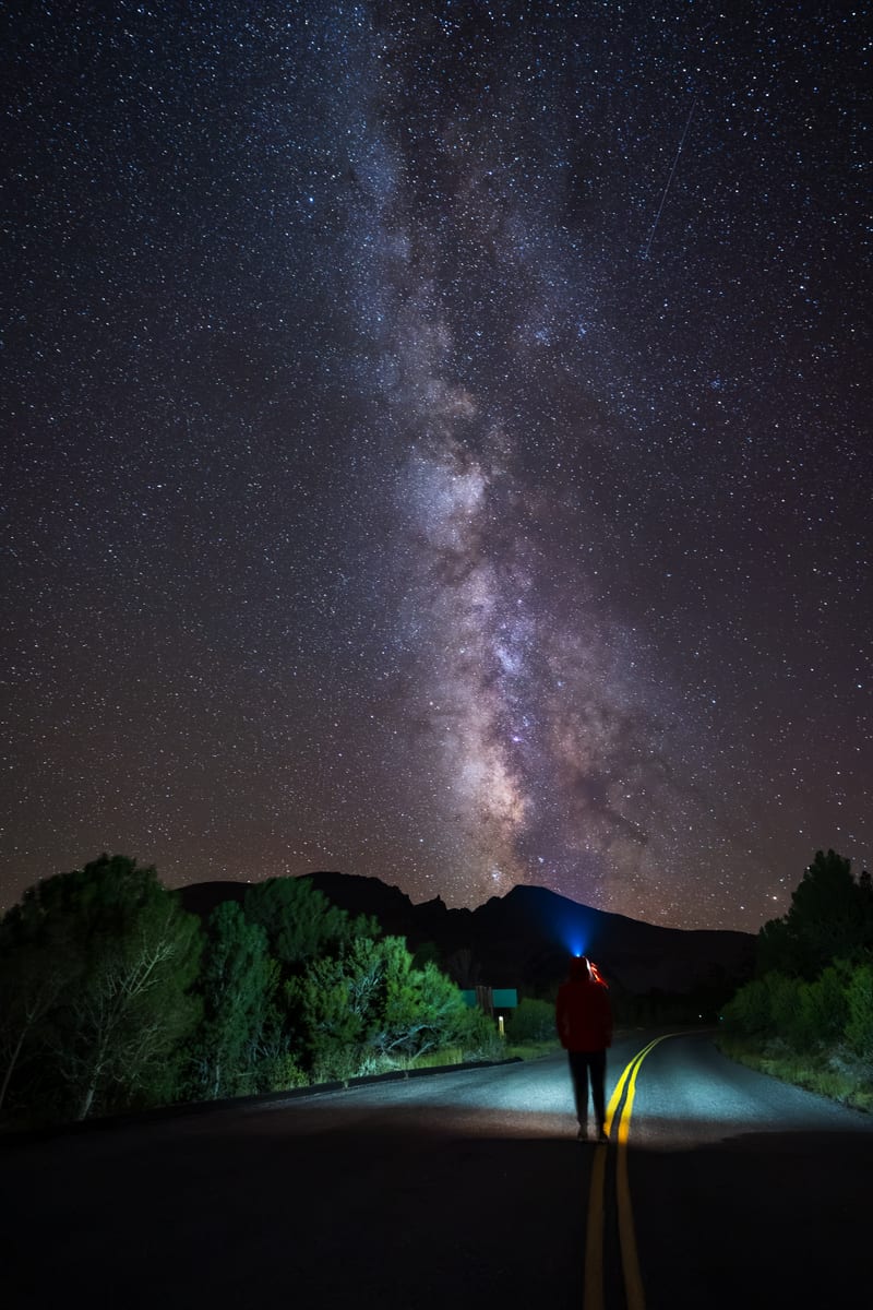
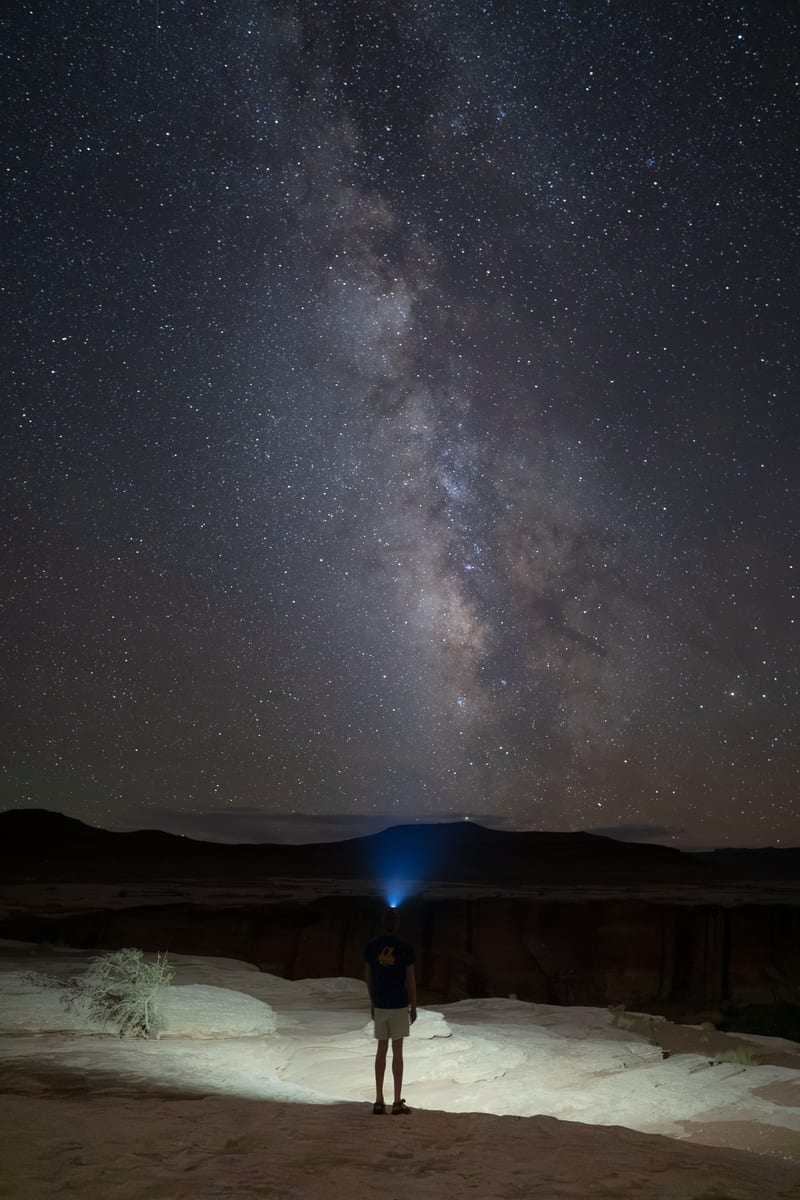
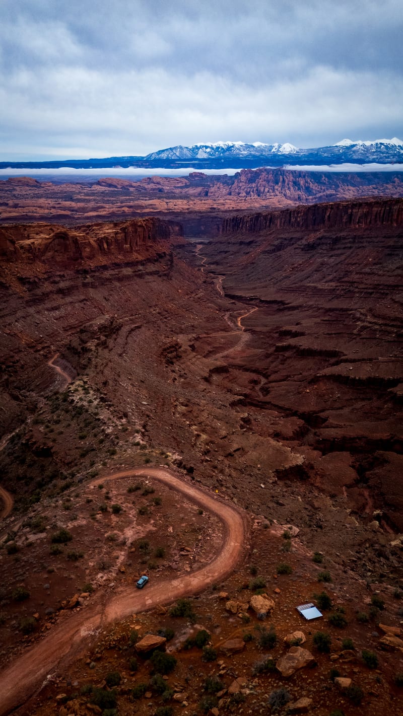
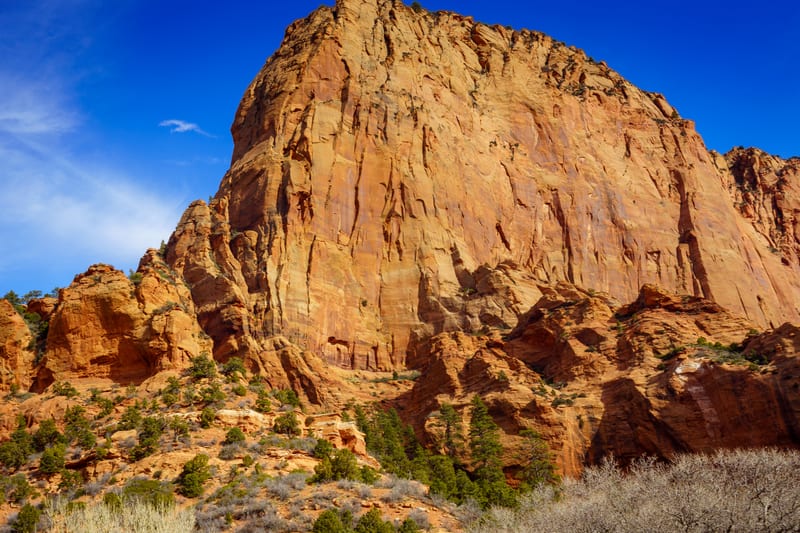
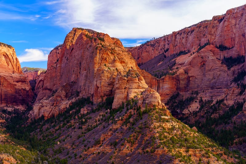
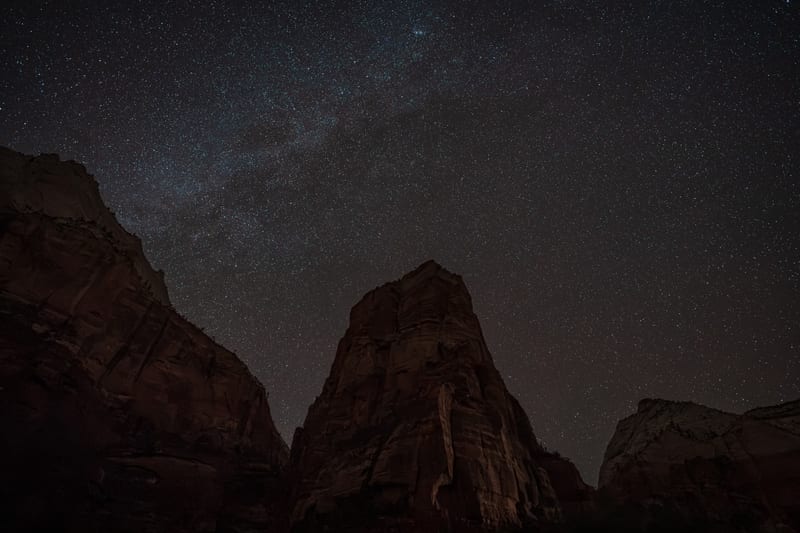
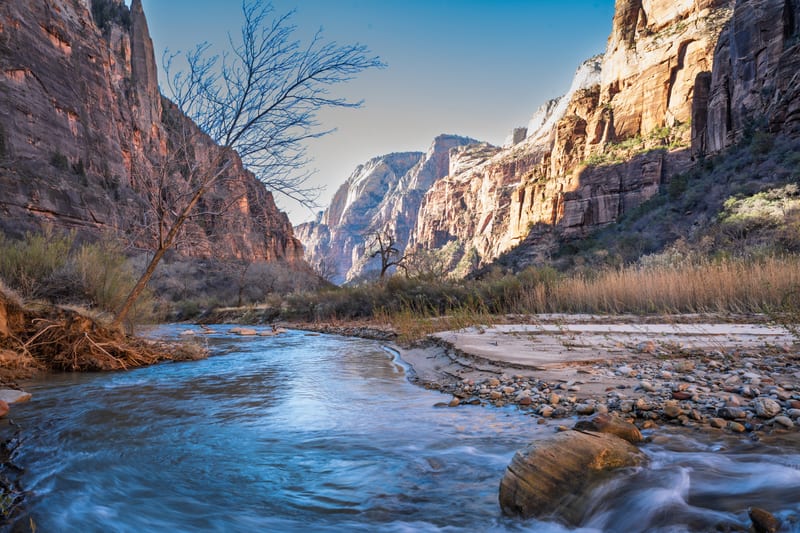
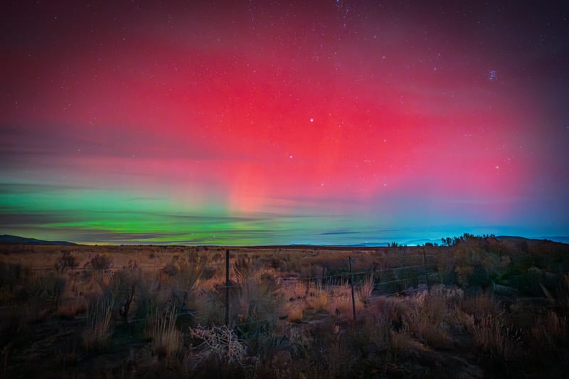
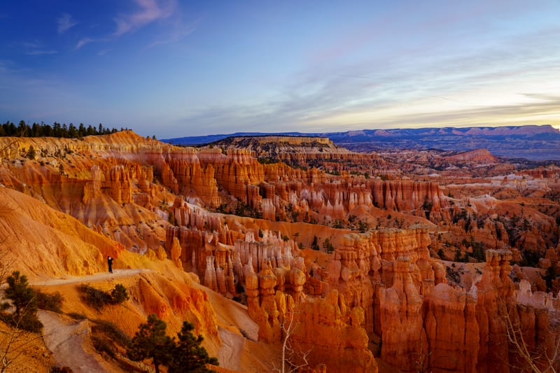
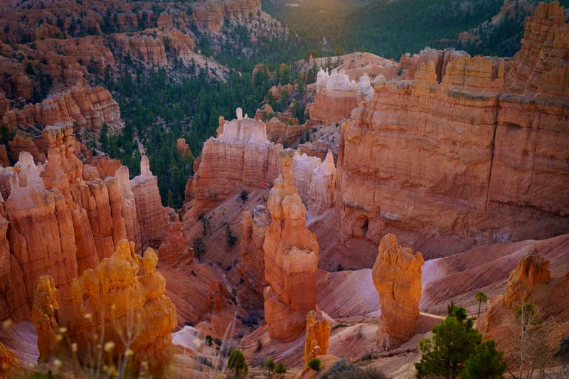
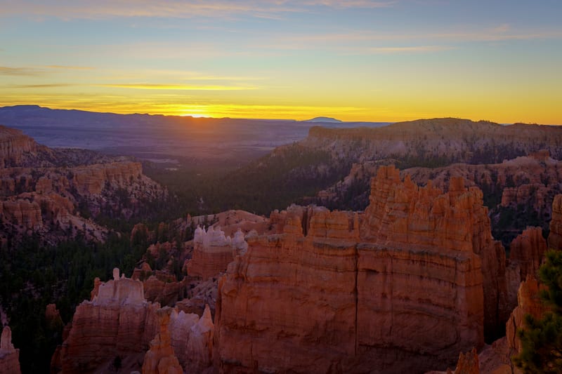
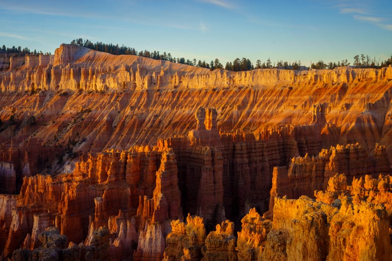
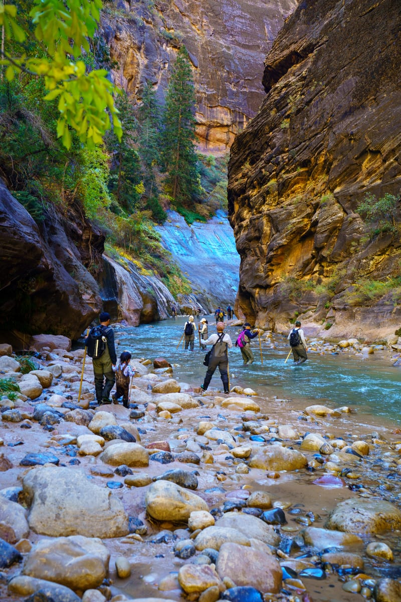
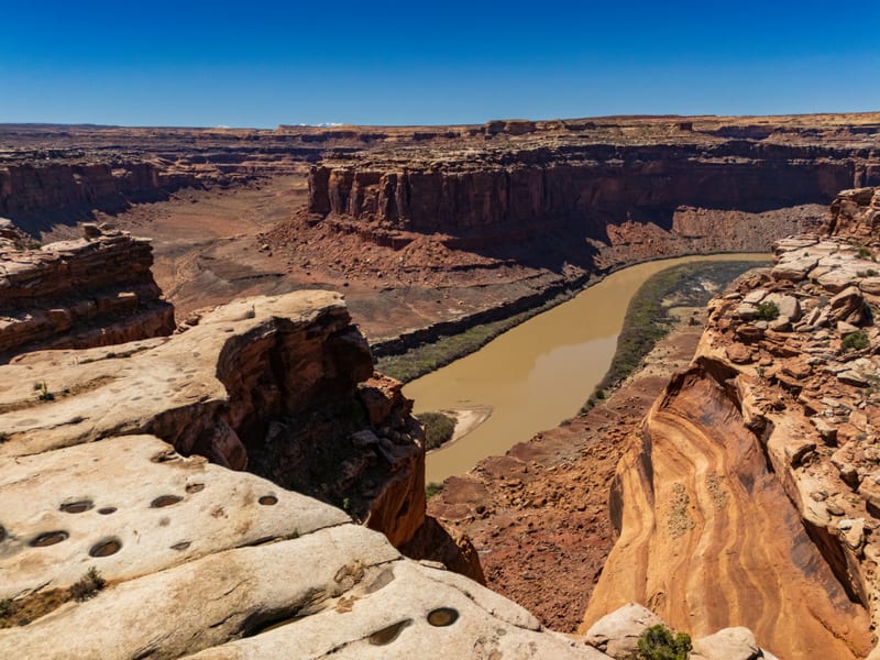
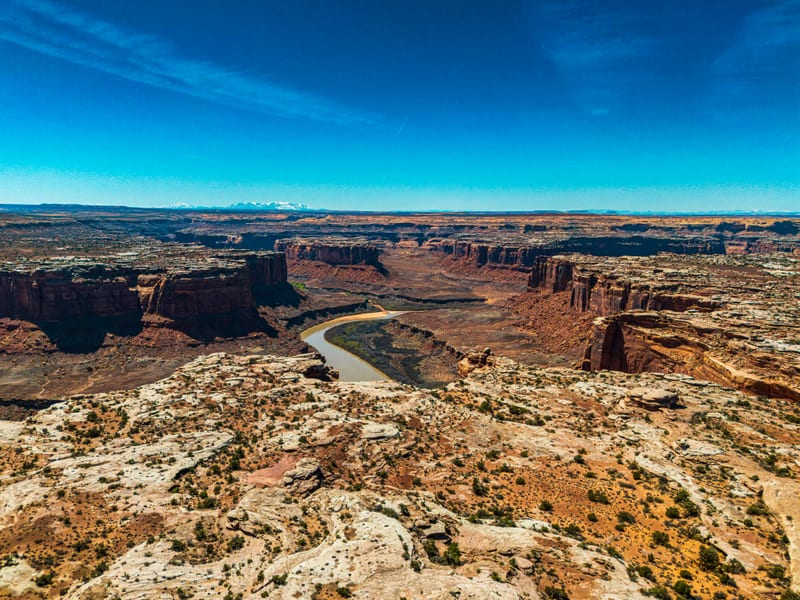
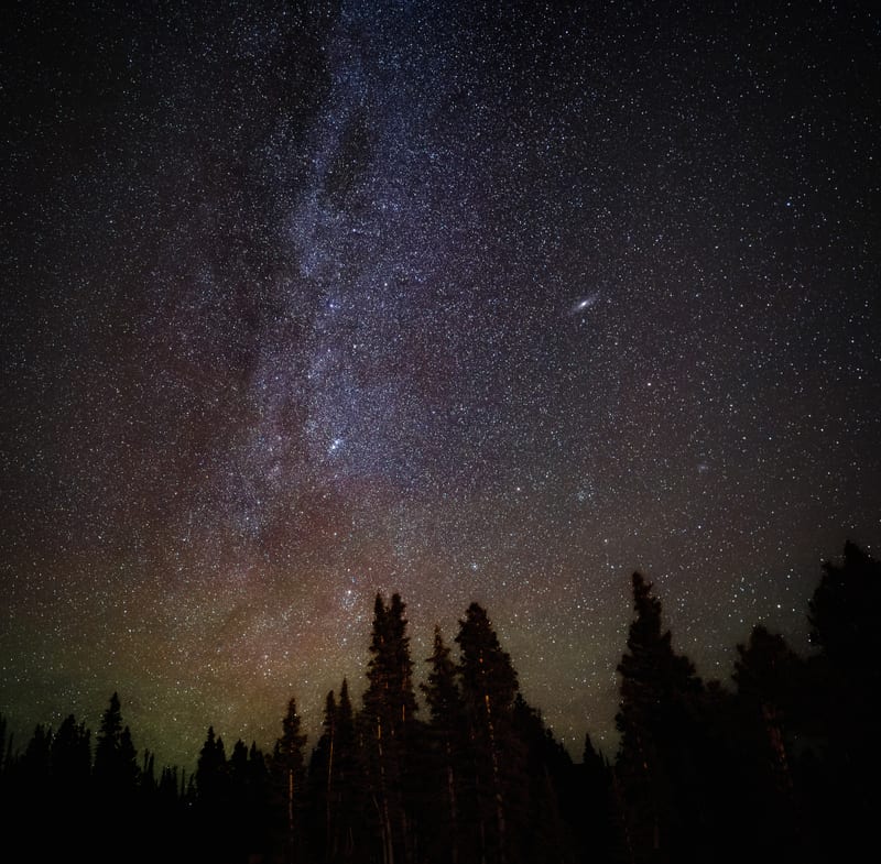
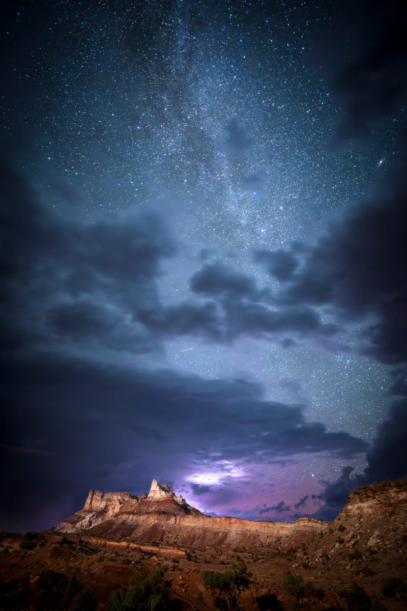
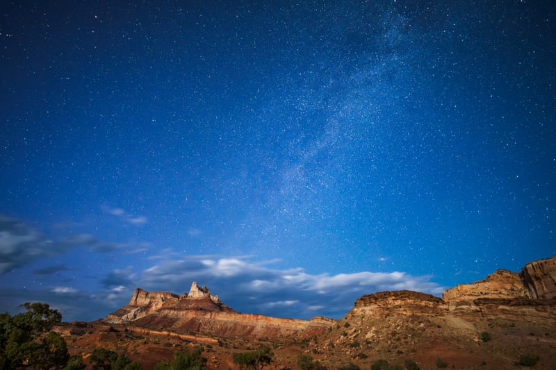
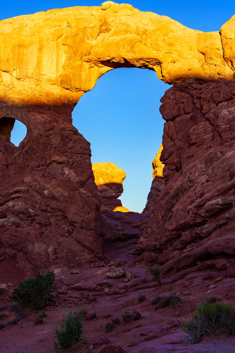
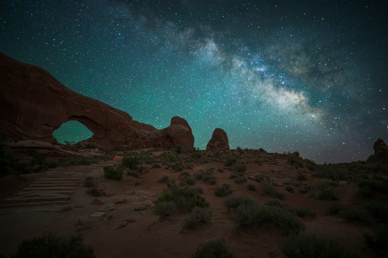
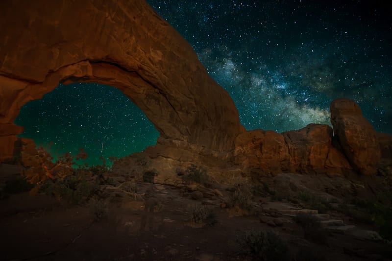
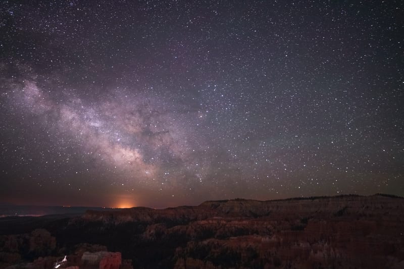
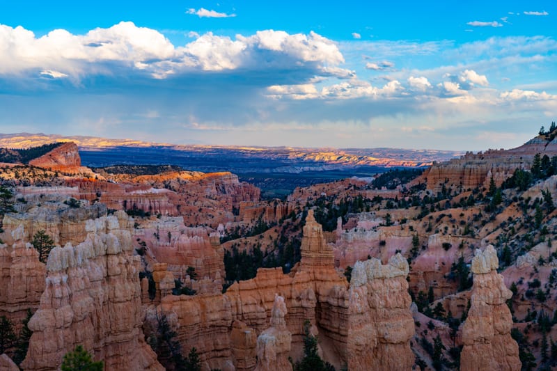
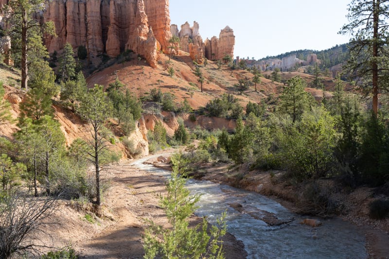
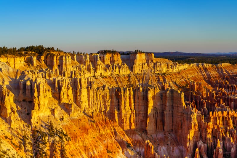
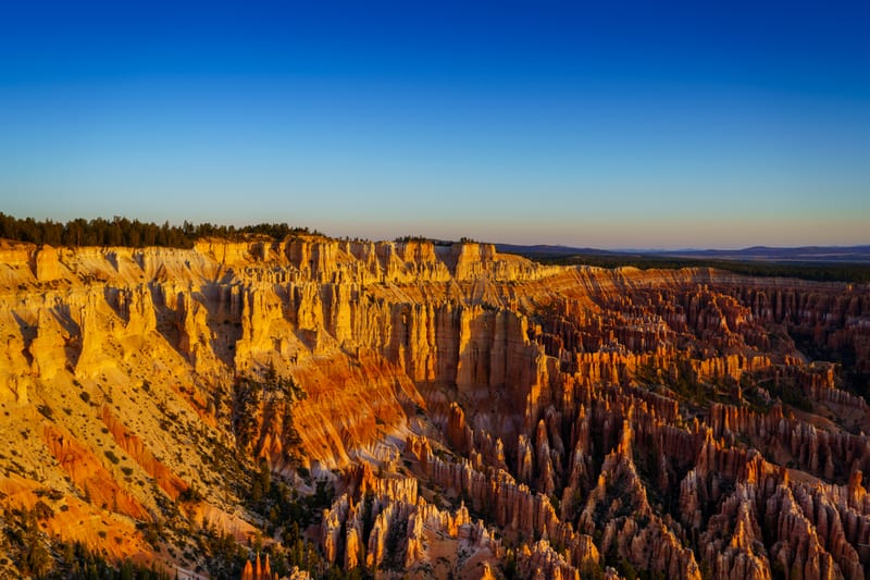
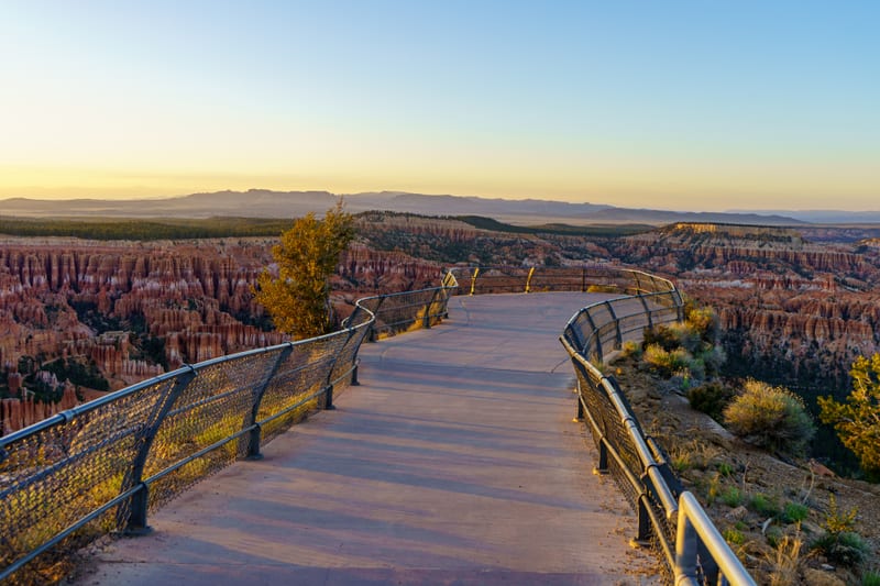
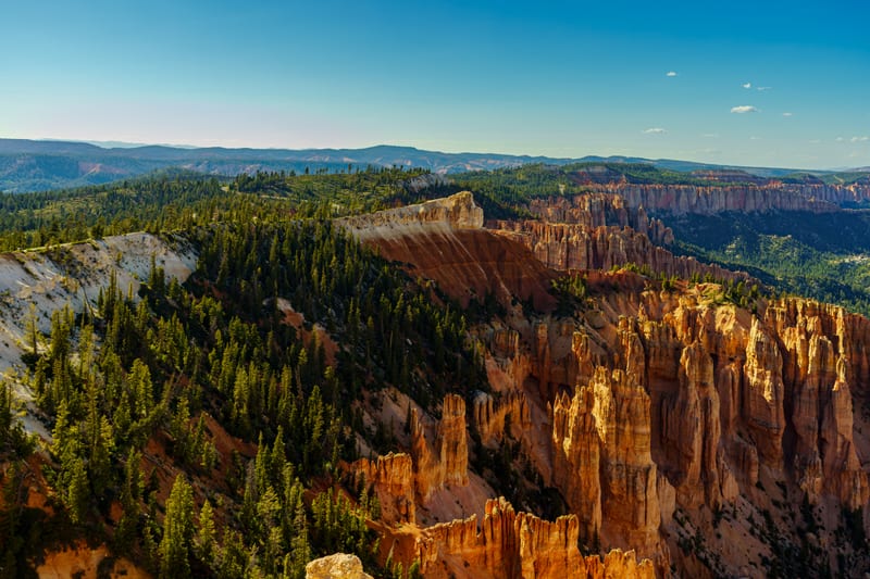
Bryce is where our first camera broke, and it keeps pulling us back. In October 2024 we spent a night at Mirror Lake in the Uintas during the Yellow Lake Fire, with the Milky Way core standing straight up out of the pines and the Andromeda galaxy over them to the north. In December 2025 we got the winter Milky Way over Angels Landing in Zion from down in the Virgin River. Labor Day weekend 2026 was our first night on the White Rim Road below Island in the Sky, camped at Candlestick, and we shot the Milky Way standing straight up over the rim until one in the morning. A week later we were across the Nevada line at Great Basin, a Dark Sky Park, for its astronomy festival, with the Milky Way over the Wheeler Peak Scenic Drive. We've also photographed it over Turret Arch in Arches and over Temple Mountain in the San Rafael Swell.