 dust and starlight
Nevada / Utah
Great Basin and Utah's West Desert
Basin and Range country from Great Basin National Park to Utah's West Desert: Wheeler Peak's lakes and dark sky, and Onaqui wild horses on the Pony Express Trail.
2 places · 11 photos
Map of Great Basin and Utah's West Desert
The places
All placesEvery photo from here
Newest first
11 photos
Field notes
When to go
Our frames here are from one September weekend in 2026: Saturday, September 12, in Great Basin National Park during its Astronomy Festival, and Sunday, September 13, on the back roads home across Utah's West Desert. We've also found the Onaqui herd out here on two March evenings in 2026. The park's high country is seasonal: the Wheeler Peak Scenic Drive, a paved 12-mile road that climbs more than 4,000 feet, is usually open by Memorial Day weekend, and in winter it's closed to vehicles at Upper Lehman Creek Campground. Down in the West Desert, the BLM campground at Simpson Springs is open all year, with water only in season.
Getting there
From Salt Lake City, the Park Service's route to Great Basin National Park is US 6 and 50 west to the Nevada line, then NV-487 to Baker and NV-488 into the park, about 234 miles. It warns that navigation apps can send you to very remote places, so route to Baker or one of the visitor centers. We came back the long way, on the Gandy Road and the Pony Express Trail, which the BLM keeps up as a gravel backcountry byway across the West Desert, past the historic Simpson Springs station, in the Onaqui Mountain Herd Management Area. Services are few out here, with long gaps between fuel and groceries and little or no cell coverage, so plan for breakdowns and sudden storms. As of 2026 the park charges no entrance fee, and the BLM asks you to stay at least 100 feet from any wild horse and never to pet or feed one.
Our story
The Great Basin is the country where rivers never reach the sea. Rain and snow evaporate, sink underground or run into lakes, most of them salty, and the region takes in most of Nevada and half of Utah, with the Great Salt Lake among its drains. Its Basin and Range is steep, narrow, north-trending mountain ranges separated by wide, flat valleys, and in Utah those valleys were flooded by Lake Bonneville about 15,000 years ago. That's why Great Basin National Park and Utah's West Desert share a page here: they're the same country, and nothing like the Wasatch or the Uintas.
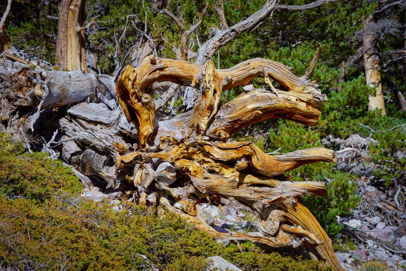
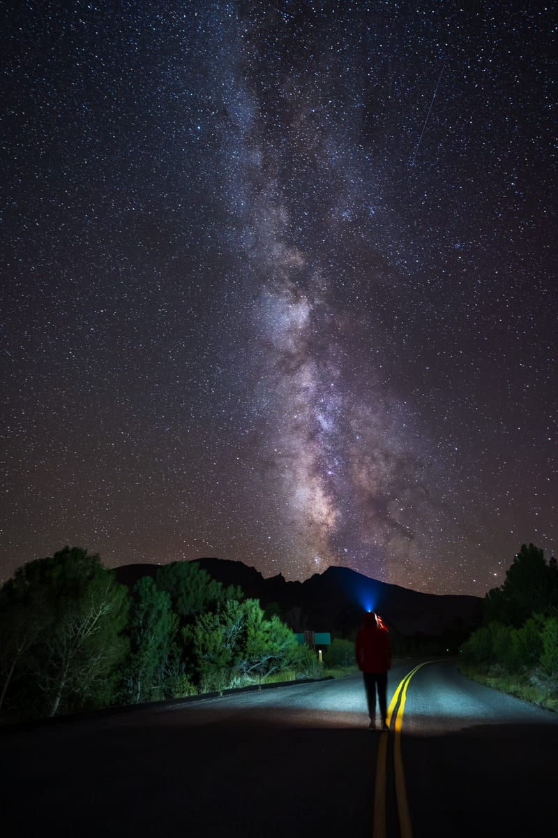
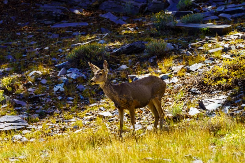
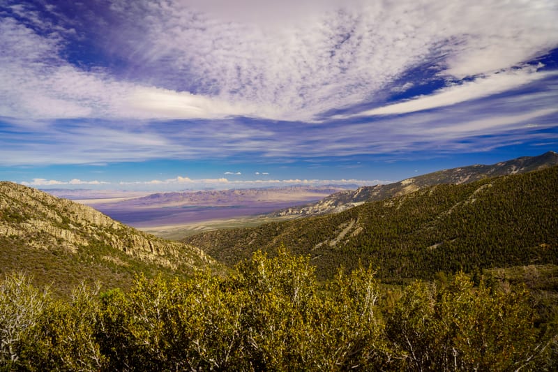
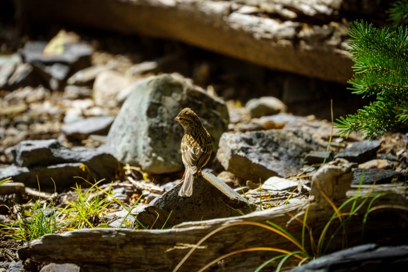
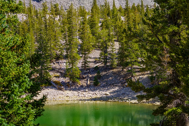
We went out for the park's Astronomy Festival weekend in September 2026. On Saturday, September 12, we hiked the Alpine Lakes Loop under Wheeler Peak: a mule deer doe below Stella Lake, a sparrow on the talus above 10,000 feet, Teresa Lake low and green, and the twisted root of a fallen bristlecone. From Mather Overlook afterward, Snake Valley opened out under the cirrus toward Utah, the way we'd driven in that morning. After dark, in a park certified as an International Dark Sky Park, we photographed the Rhodes Cabin lit up at the Lehman Caves Visitor Center, then the Milky Way over the mountains on the Wheeler Peak Scenic Drive, with a headlamp for scale.
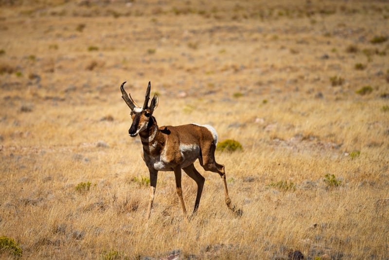
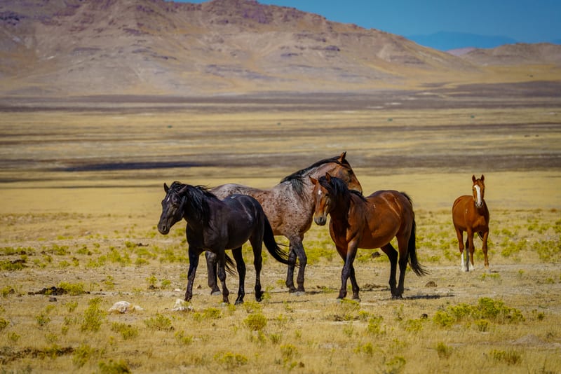
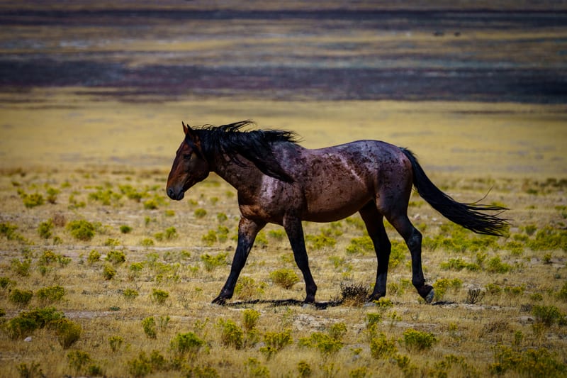
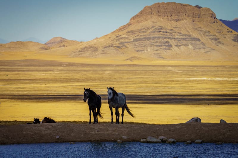
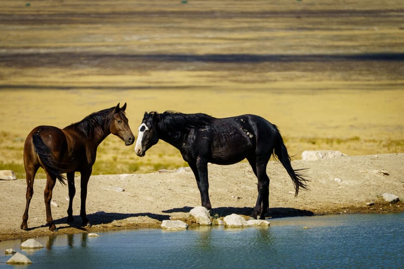
On Sunday we took the long way home, on the Gandy Road and the Pony Express Trail across the West Desert, a drive that's on our YouTube channel. A little after ten we stopped at Fish Springs National Wildlife Refuge, spring-fed marsh on the southern end of the Great Salt Lake Desert that was once a resupply post for the Pony Express, for its channels under the range and an egret flying over the reeds. At the water at Simpson Springs the Onaqui herd had come in: a band with a foal keeping pace at the edge, a roan trotting past with the wind in its mane, two horses on the pond bank below the butte, and two more meeting nose to nose. A few minutes up the road, a pronghorn buck stopped in the dry grass to look us over.
The horses are on public land here, with no fence, trail or gate. We've found the Onaqui herd on two March evenings in 2026 as well, and every frame of them was made from a distance, with a long lens doing the walking.