 dust and starlight
Utah
Capitol Reef and Central Utah
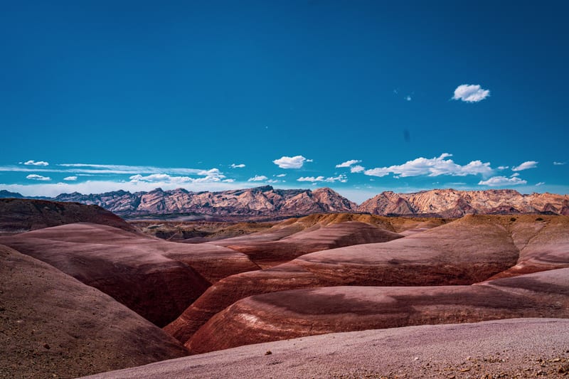
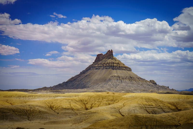
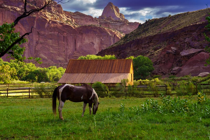
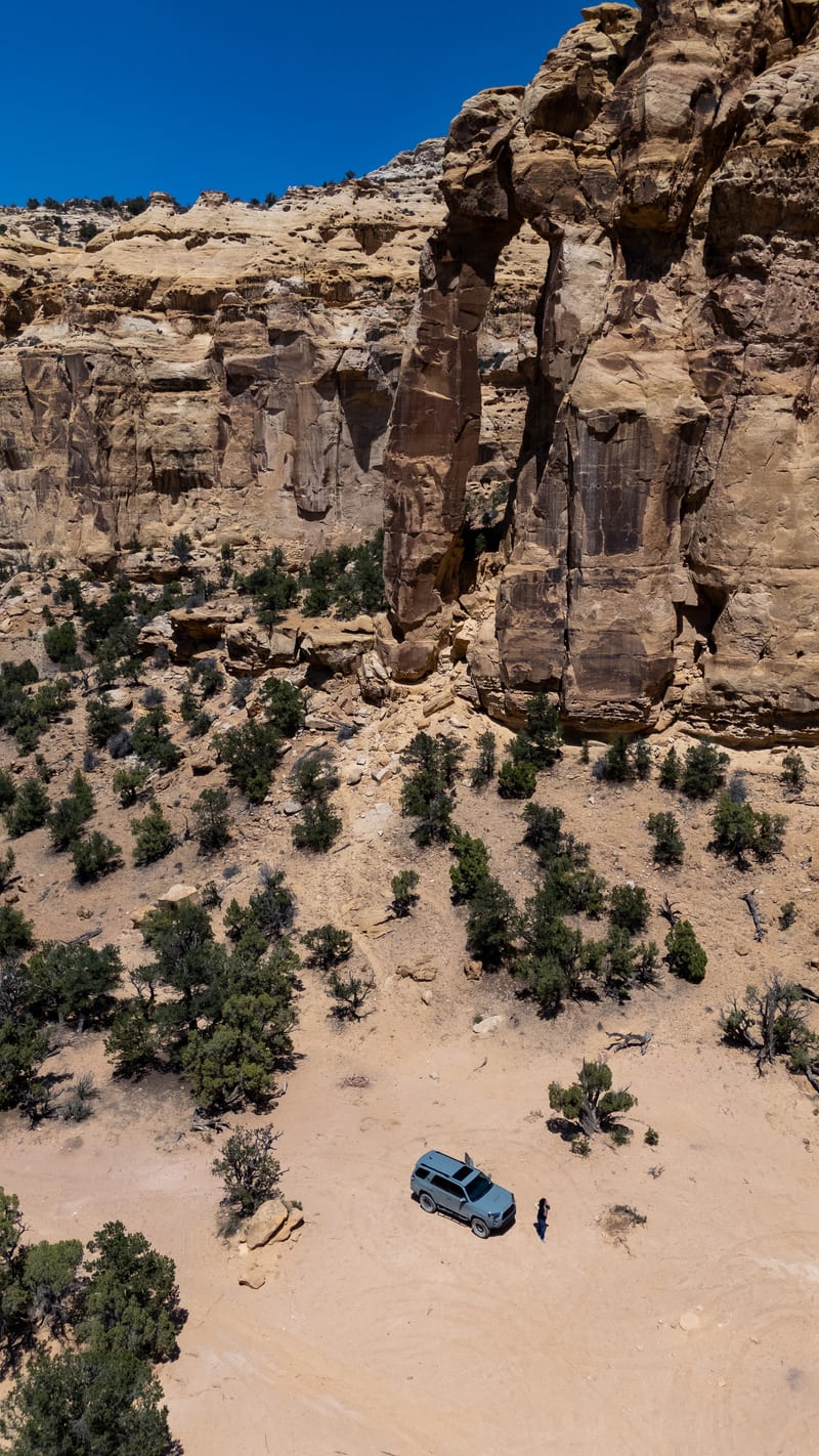
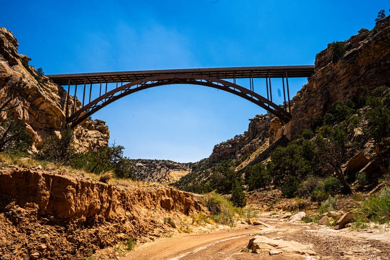
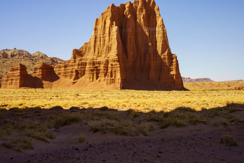
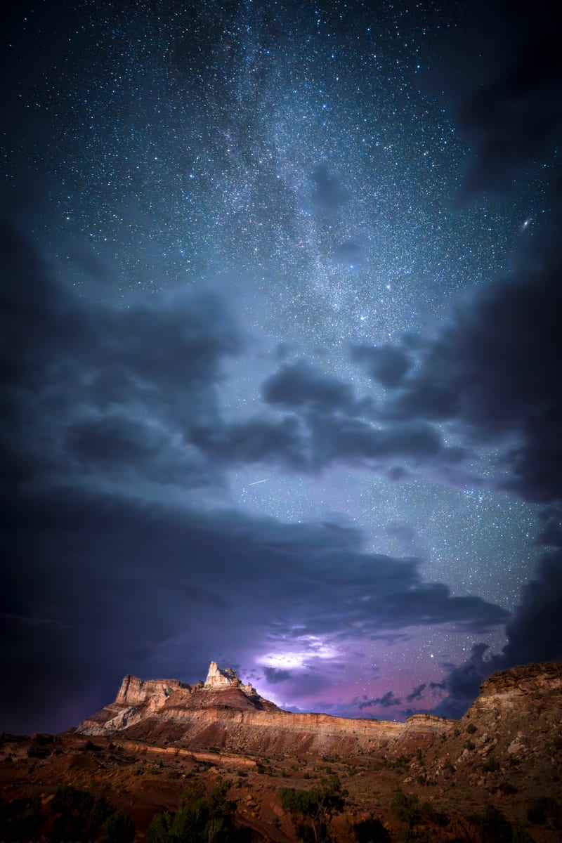
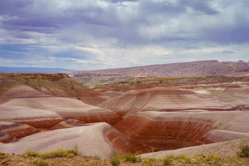
Capitol Reef National Park, the San Rafael Swell and Factory Butte: the Temple of the Sun in Cathedral Valley, horses by the Fruita barn, the bentonite hills and Eagle Canyon, and the Milky Way over Temple Mountain.
Part of Utah National Parks and Red Rock Country, with the map of all 4 of its regions.
3 places · 10 photos
Map of Capitol Reef and Central Utah

- A place
- Where photos were made
The places
All placesEvery photo from here
Newest first
10 photos
Field notes
When to go
Our frames here run from June 2024 to July 2025: Factory Butte and the bentonite hills on the afternoon of June 2, 2024, with the sky building toward storms; a night at Temple Mountain and the next morning in Fruita in August 2024; the Temple of the Sun under a clear April sky in 2025; and Eagle Canyon and the bentonite hills at the end of July 2025. Summer is one of the weirder times to come: it stays hot even at night, and Capitol Reef puts its monsoon at mid-June to mid-October, with storms often building after noon. The BLM recommends spring and fall for Factory Butte, or early morning and late afternoon.
Getting there
Capitol Reef's entry is $20 per vehicle as of 2026, charged for the Scenic Drive at a self-pay station just south of the Fruita Campground. The Cathedral Valley Loop is 57.6 miles of dirt and takes six to eight hours; high clearance is usually enough when it's dry, but rain or snow can leave the roads impassable even with four-wheel drive. I-70 cuts across the middle of the San Rafael Swell, and most everything else there is dirt and washboard; stay on designated routes. Factory Butte is public BLM land about 12 miles west of Hanksville on Highway 24, with no fee as of 2026; its clay roads can close quickly after rain, and cell coverage is scarce. Capitol Reef is an International Dark Sky Park, and light painting isn't permitted.
Our story
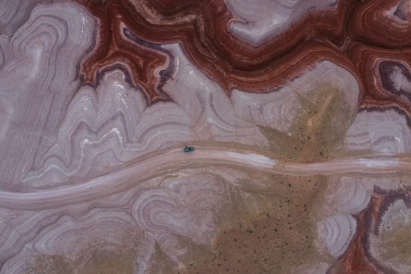
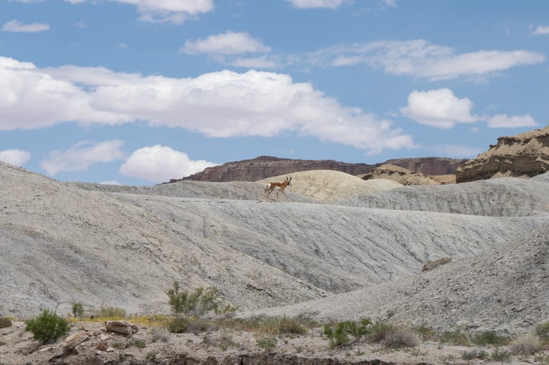
On June 2, 2024 we left Highway 24 for the dirt roads around Factory Butte in the early afternoon: a pronghorn crossing the grey Mancos badlands, the butte under a sky building toward storms, and to the north the maroon and grey bands of the bentonite hills, which we also flew with the drone.
In August 2024 we spent a night at Temple Mountain in the San Rafael Swell, where one night's timelapse under the Milky Way caught a meteor, a distant lightning flash and the glow of a geomagnetic storm. The next morning a pinto horse was grazing by the old barn in Fruita, under the red cliffs of Capitol Reef.
Cathedral Valley, the park's remote north end, came in April 2025: the Temple of the Sun standing alone on the valley floor, under a sky with no clouds in it. At the end of July 2025 we were back in the Swell for Eagle Canyon Arch, Interstate 70's arch bridge over Eagle Canyon, and the bentonite hills in hard midday light.