 dust and starlight
Utah
Northern Utah
Northern Utah's mountains: July wildflowers at Alta in the Wasatch, and the Uintas on the Mirror Lake Highway, from Provo River Falls to the Milky Way at Mirror Lake.
2 places · 14 photos
Map of Northern Utah
- A place
- Where photos were made
The places
All placesEvery photo from here
Newest first
14 photos
Field notes
When to go
Our mountain frames here run from June to October. The Wasatch set is mostly from one late-July day in 2024 at Alta, during the Wasatch Wildflower Festival, which the Cottonwood Canyons Foundation runs each July, with paintbrush, lupine, Jacob's-ladder and fireweed in bloom. The Uintas are a summer-and-fall trip for us: UDOT closes the Mirror Lake Highway (SR-150) east of Kamas through the winter, typically from November through May or June, depending on the weather, so check its Seasonal Roads page or the UDOT Traffic app before you go. We've been up on a June evening, on an October night, and on September 26, 2026, at the height of the fall color.
Getting there
The main crest of the Uintas runs west to east for more than 60 miles and rises more than 6,000 feet above the Wyoming and Uinta basins on either side. The Mirror Lake Highway climbs east from Kamas through the Uinta-Wasatch-Cache National Forest, past Provo River Falls, to Bald Mountain Pass, 10,715 feet and 29 miles out. As of 2026, parking at the Forest Service fee sites along it takes a recreation pass: $10 for three days, $20 for seven or $60 for a year, and America the Beautiful passes are honored. For the Wasatch's canyon roads, summer parking and winter traction rules, see the Wasatch Mountains page.
Our story
Northern Utah, for this page, means its mountains. The Utah Geological Survey puts them in the Middle Rocky Mountains, high country carved by streams and glaciers, with two major ranges: the Wasatch, running north and south, and the Uintas, running east and west. The desert to the west is different country, and it has its own page, with Great Basin National Park.
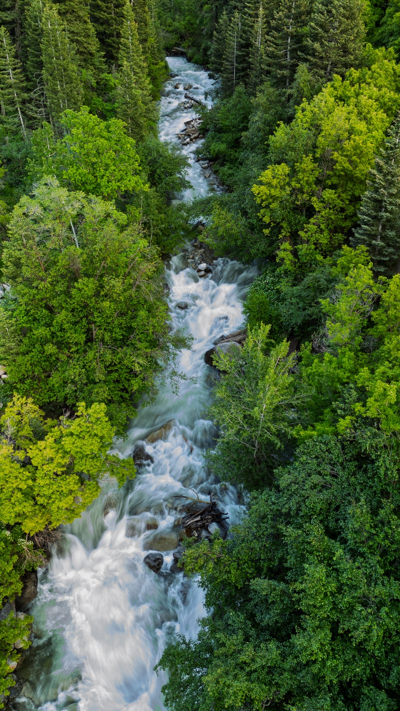
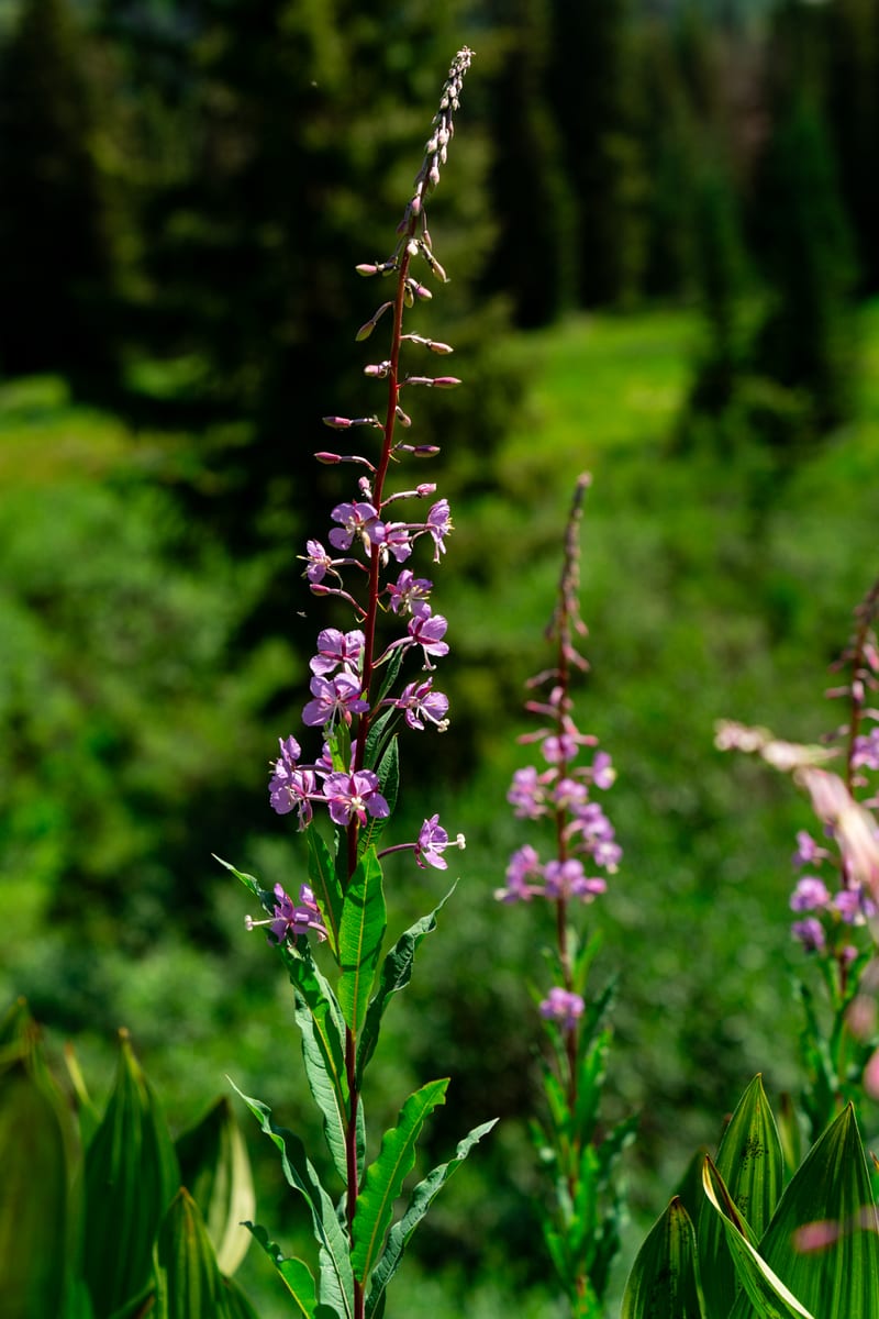
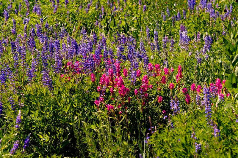
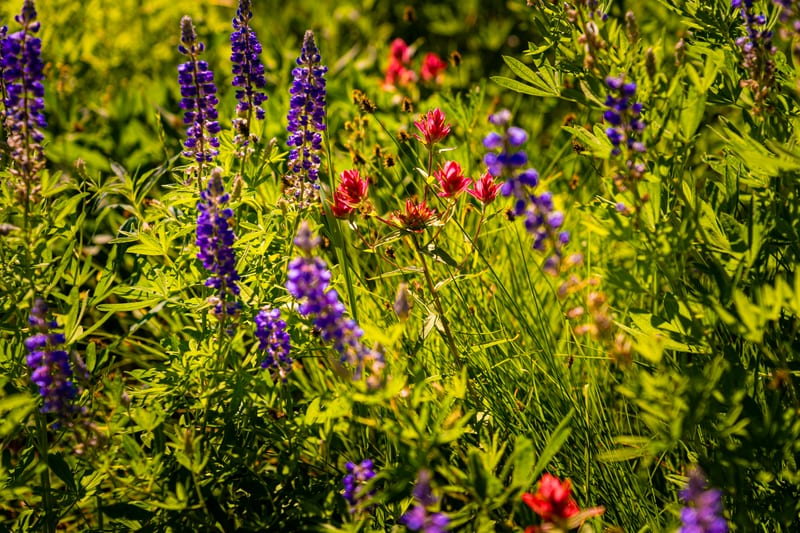
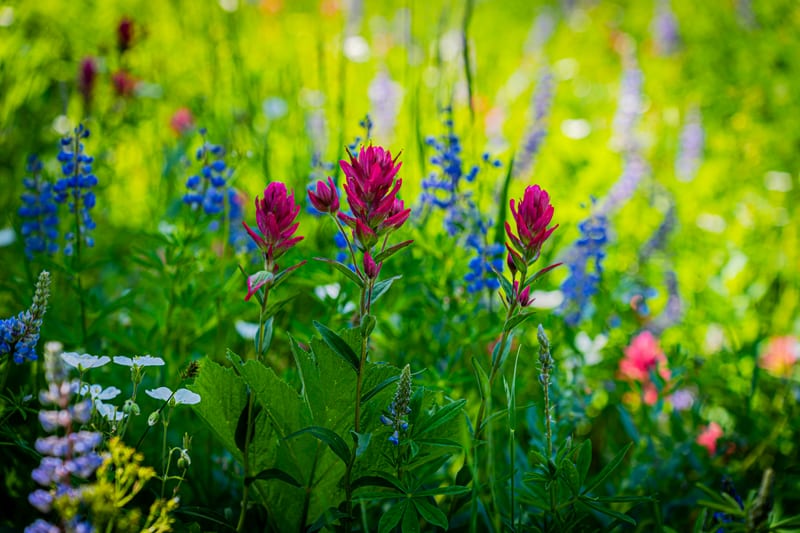
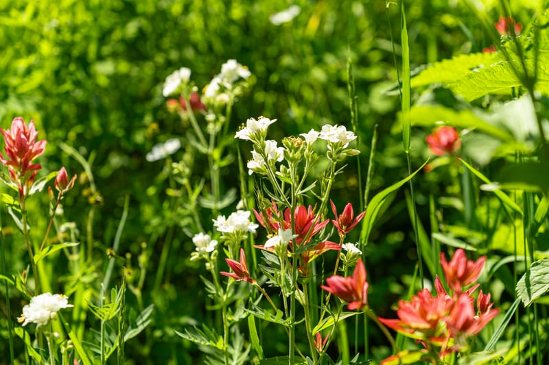
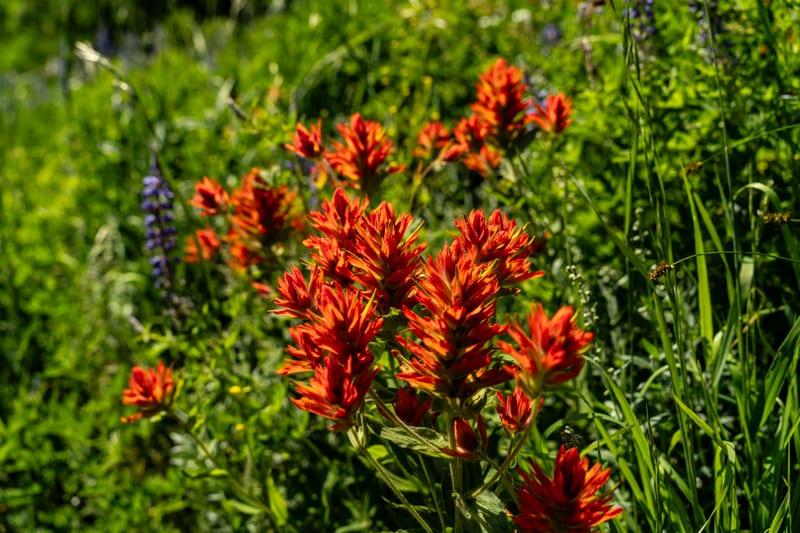
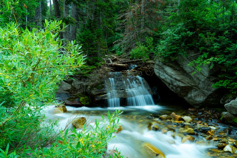
In the Wasatch our frames are mostly from one late-July day in 2024 at Alta, at the top of Little Cottonwood Canyon, during the Wasatch Wildflower Festival: Indian paintbrush and lupine filling the high meadows, magenta paintbrush in front of blue lupine, scarlet paintbrush among leafy Jacob's-ladder, and fireweed at the edge of a meadow. The day before, a small cascade on Little Cottonwood Creek dropped out of the spruce into a clear, rocky pool, and on an evening in June 2025 we put the drone up over the same creek running white through the June green.
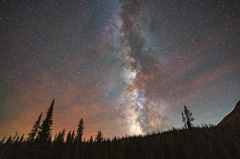
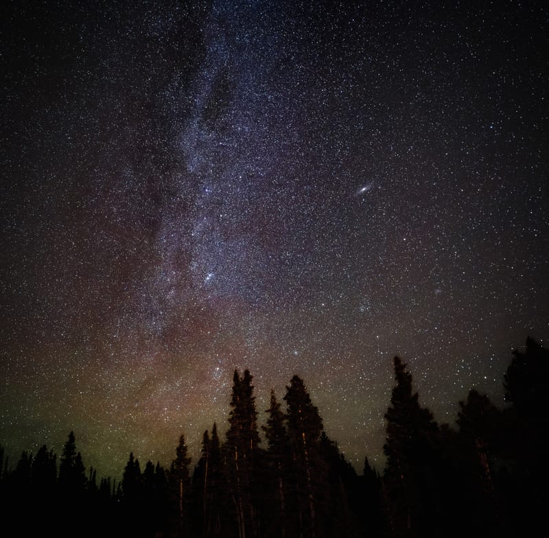
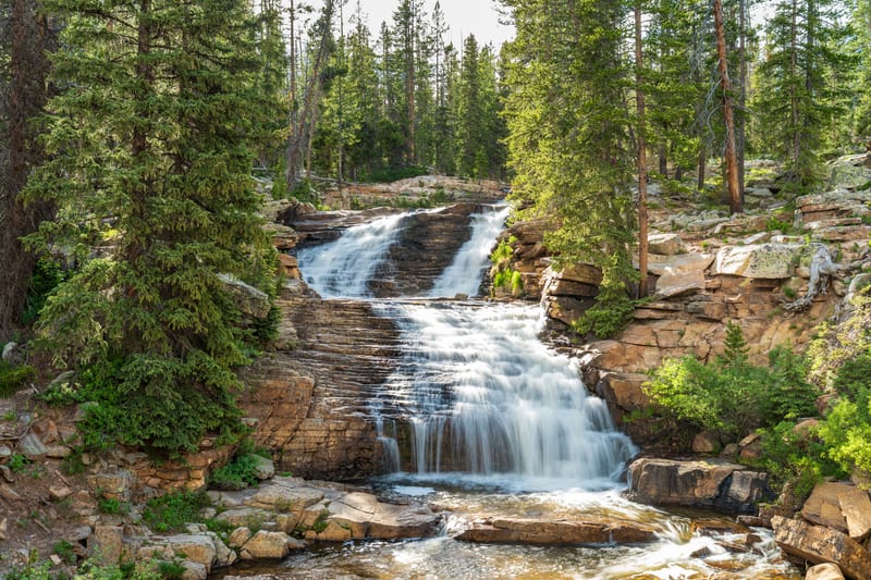
We've made three trips up the Mirror Lake Highway into the Uintas. On the evening of June 30, 2024, Hayden Peak stood over Moosehorn Lake, and a little later we had the tripod out at Provo River Falls, slowing the shutter to smooth the water over its stepped ledges. On October 5, 2024, during the Yellow Lake Fire, we photographed the Milky Way core rising out of pines lit orange by the fire at Mirror Lake, with Bald Mountain's ridge on the right, and, facing north from the same lot, the Andromeda galaxy over the pines.
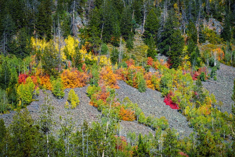
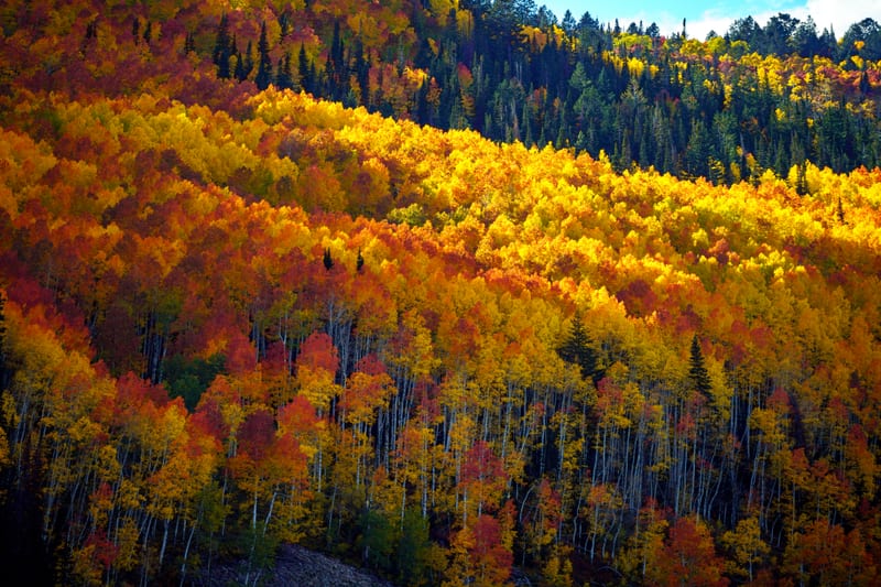
On September 26, 2026, at the height of the fall color, red maples and aspens lit a talus slope beside the highway at the turnoff to Soapstone Basin, and down in the basin orange aspens stood scattered through the dark conifers in the late-afternoon light.
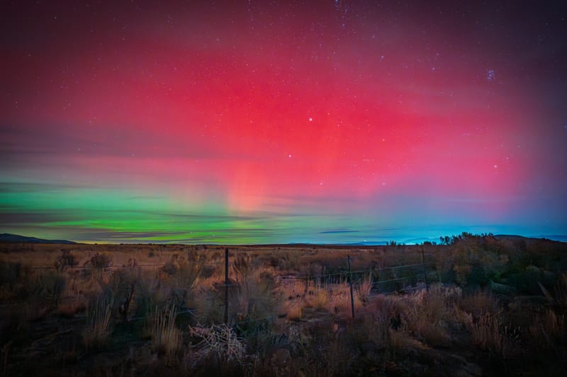
Farther north, in Box Elder County near Golden Spike National Historical Park, we photographed a red aurora on the night of the November 11, 2025 storm, with a green band along the horizon over the sagebrush flats and a wire fence.