 dust and starlight
Utah
San Rafael Swell
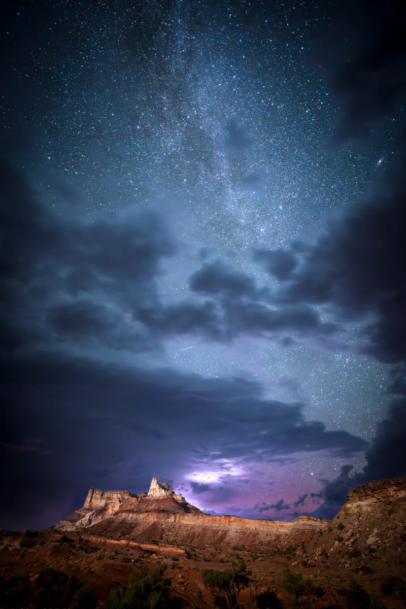
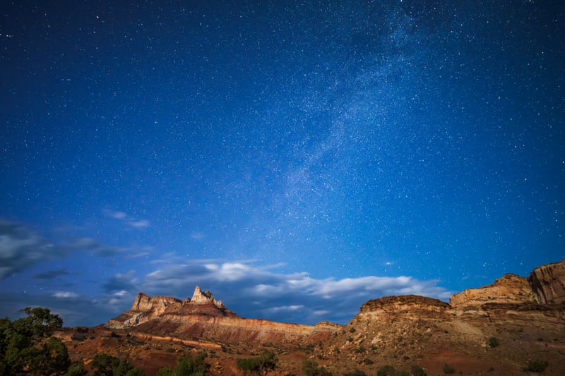
A hundred miles of reef, fins, and washboard road between Price and Hanksville, and night skies with almost nothing on the horizon. Where we photographed the Milky Way over Temple Mountain.
Part of Capitol Reef and Central Utah, in Utah, with its map and every photo from the region.
- Photographs
- 7
- Made
- June 2024 – July 2025
- Months
- June, July and August
7 photos
Field notes
When to go
Our frames here are from early June 2024 and late July 2025. Summer is one of the weirder times to come: it stays hot even at night, and our astro night at Temple Mountain was honestly bizarre. We'd point people to spring or fall instead.
Access and rules
I-70 cuts across the middle of the Swell and SR-24 runs down its east side toward Hanksville; most everything else is dirt and washboard. You'll need high clearance for some roads inside the Swell, especially after rain, and nothing we've shot here needs a BLM permit. Stay on designated routes: BLM finalized a new travel management plan for the Swell in December 2024 that closed some routes and opened others, so check the current BLM map before you go.
Our story
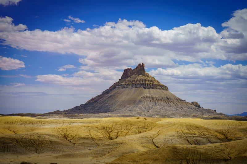
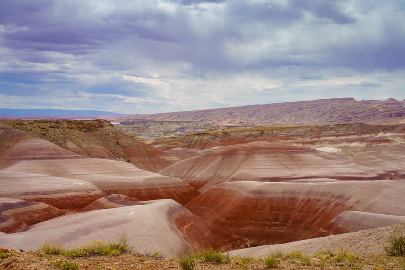
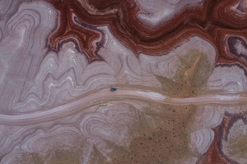
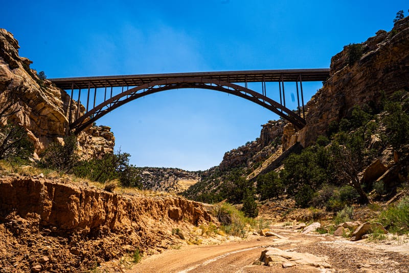
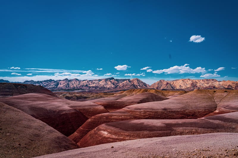
From a late-July 2025 trip, Interstate 70's arch bridge over Eagle Canyon seen from the wash below, and, the same day, striped bentonite badlands doing their best impression of another planet. We'd been through the same bentonite hills in June 2024, the afternoon we photographed Factory Butte: maroon and grey bands under an overcast sky, and from the drone, the bands swirling around the dirt road through the hills.
Where the photos were made

San Rafael Swell: the spots are rounded to about a kilometre.
Nearest places
All placesAs the crow flies, from the center of San Rafael Swell to the center of each.