 dust and starlight
Utah
Factory Butte
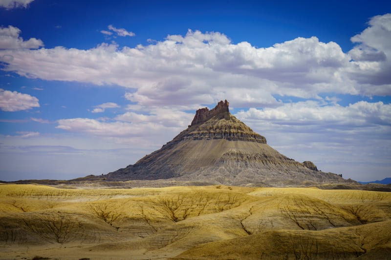
Factory Butte over the grey Mancos Shale badlands west of Hanksville, Utah, and the maroon-banded Bentonite Hills to its north. Public BLM land off Highway 24, and a stop on our drives through in 2024 and 2026.
Part of Utah National Parks and Red Rock Country, with its map and every photo from the region.
- Photographs
- 2
- Made
- June 2024
- Months
- June
- In the collections
2 photos
Field notes
When to go
Our frames here are from the early afternoon of June 2, 2024, with the sky building toward storms over the butte and overcast by the time we reached the bentonite, and from an overcast day in late April 2026. Because of the heat, the BLM recommends spring and fall, or early morning and late afternoon. Rain can close the clay roads quickly, so keep an eye on the sky.
Getting there
Factory Butte is public land managed by the BLM, about 12 miles west of Hanksville, Utah, on Highway 24, and as of 2026 there's no fee to visit. Factory Butte Road (BLM Road 0091) turns north off the highway just past mile marker 106; it's unpaved but generally well maintained, with restrooms and a kiosk half a mile in. Most roads out here are clay and can become impassable quickly after rain or snow, and cell coverage is scarce, so check the forecast, carry a map, and fuel up and buy supplies in Hanksville before you head out. Driving or riding cross-country is allowed only inside the three OHV open areas (Swing Arm City, Factory Butte and Caineville Cove); everywhere else, stay on designated routes, which protect rare cacti found only in south-central Utah. Dispersed camping is free with no permit, for up to 14 days, anywhere inside the open areas or at established sites within 150 feet of a designated route outside them; see the BLM's Factory Butte Recreation Area page, or the Henry Mountains Field Station in Hanksville.
Entry and passes
Factory Butte: no entrance fee. Dispersed camping is free and needs no permit, for up to 14 days.
Our story
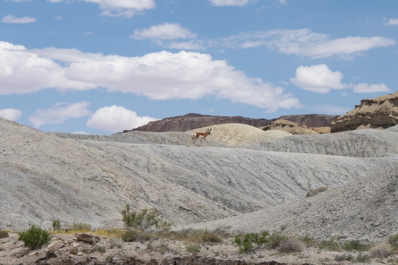
We came through on June 2, 2024, driving home from Bryce, and left Highway 24 for the dirt roads around Factory Butte in the early afternoon. Southwest of the butte a pronghorn crossed the grey Mancos badlands, and we photographed it from the truck. Then the butte itself, with the sky building toward afternoon storms and the light coming and going across the badlands in front of it.
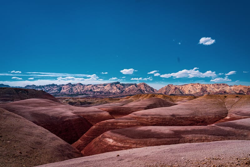
North of the butte the grey ground turns to bentonite: mounds banded in maroon and grey, which we call the Bentonite Hills. We stopped there under an overcast sky.
We were back in late April 2026 on an overcast spring day, between Cathedral Valley and Goblin Valley, and stopped for Factory Butte with the Henry Mountains behind it.
Nearest places
All placesAs the crow flies, from the center of Factory Butte to the center of each.