 dust and starlight
Utah
Canyonlands National Park
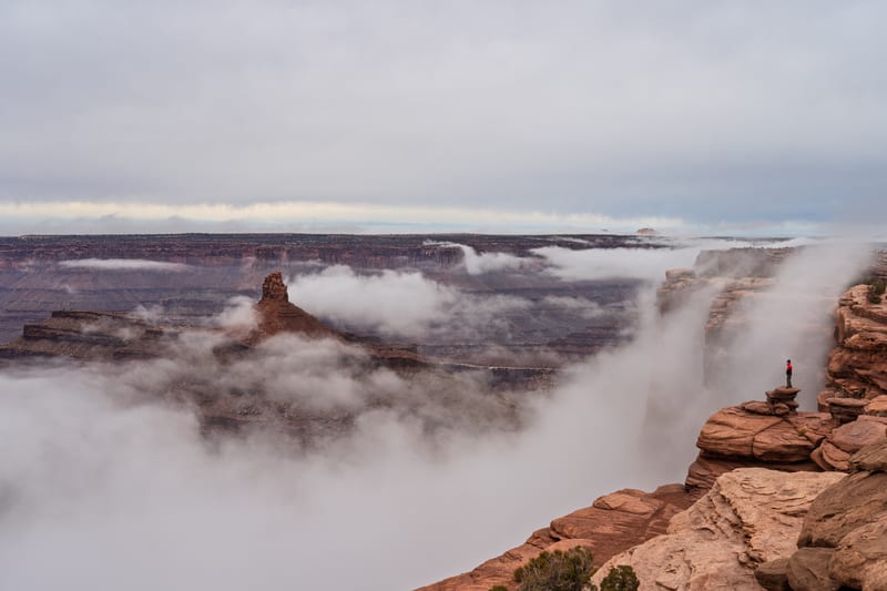
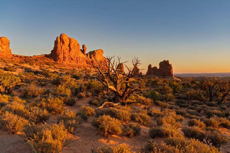
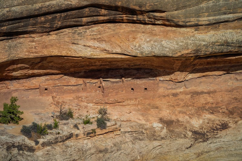
A night on the White Rim Road below Island in the Sky, camped at Candlestick, September 2026.
Part of Arches and Canyonlands, in Utah, with its map and every photo from the region.
- Photographs
- 4
- Made
- April 2025 – September 2026
- Months
- April and September
- In the collections
4 photos
Field notes
When to go
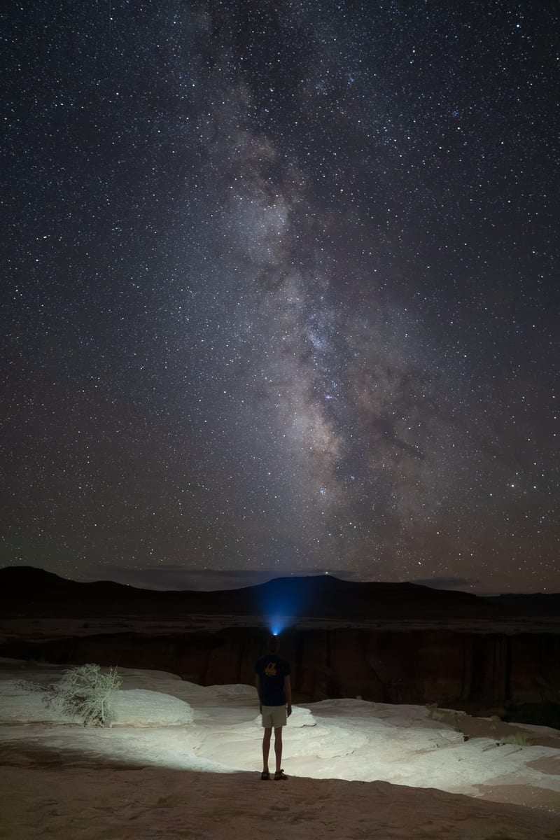
We went in early September 2026, over Labor Day weekend. The Milky Way core was still up after dark, low in the southwest and setting early, and the sky went dark sooner than we'd planned, so be set up before astronomical dark, not at it. It's also monsoon season: storms built all through our second morning. Spring and fall are the busiest times on the White Rim, and overnight permits for those seasons go fast.
Access and rules
Every trip on the White Rim Road needs a permit from the park, on top of the entrance fee: overnight camping permits through Recreation.gov (as of 2026, spring permits open November 10 and fall permits May 10), and day-use permits online or at the visitor center. You need a high-clearance 4WD with low range; ATVs and UTVs aren't allowed. We picked up our permit at the Island in the Sky Visitor Center, a ranger checked it at the White Rim gate, and we came down the Shafer Trail and drove out by the Mineral Bottom switchbacks.
Entry and passes
Entry: $30 per vehicle. The $80 America the Beautiful annual pass covers it. The Southeast Utah Parks annual pass is $55 (Arches, Canyonlands, Natural Bridges and Hovenweep, for US residents). The White Rim Road needs a permit on top of entry, for day trips and overnight trips alike. The entrance stations take cards only.
Our story
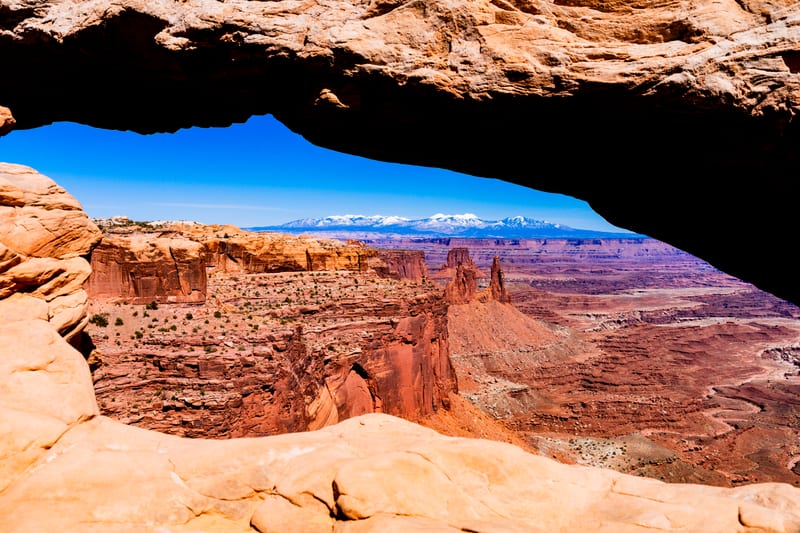
Our first night on the White Rim Road was Labor Day weekend 2026: just the two of us in the 4Runner, with a permit for Candlestick camp. We came down the Shafer Trail around noon and stopped all the way along — Musselman Arch, the pullouts over the Colorado River, Washer Woman, the climb over Murphy Hogback. It took us almost six hours to reach camp.
The sky went dark sooner than we'd planned, and we shot from about a quarter to nine until one in the morning, around 600 frames of the Milky Way standing straight up over the rim, with a GoPro running a night lapse beside us until dawn.
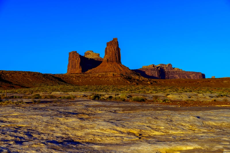
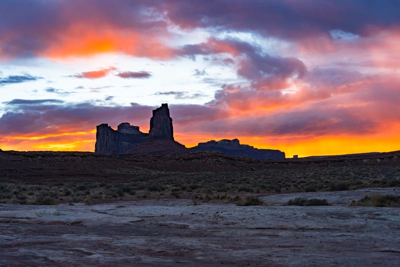
Before the trip we'd mapped the horizon from camp with elevation data. It told us the sun would not rise in the gap between the La Sal peaks from there, and that first light would reach the top of Candlestick Tower almost half an hour after sunrise. The terrain held; the weather didn't. The monsoon had arrived, and we got about three minutes of good light behind the tower before the clouds closed in. We drove out past Taylor Canyon and up the Mineral Bottom switchbacks to a late breakfast in Moab.
Where the photos were made

Canyonlands National Park: the spots are rounded to about a kilometre.
Nearest places
All placesAs the crow flies, from the center of Canyonlands National Park to the center of each.