 dust and starlight
Wyoming / Idaho
Yellowstone and Grand Teton
Yellowstone and Grand Teton and the Idaho side of Greater Yellowstone: geyser basins by starlight, wildlife from bison to mountain goats, waterfalls and Jenny Lake.
3 places · 18 photos
Map of Yellowstone and Grand Teton
- A place
- Where photos were made
The places
All placesEvery photo from here
Newest first
18 photos
Field notes
When to go
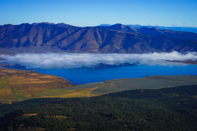
Our frames here are from late June 2024, late May 2025, and early May, early July and mid-September 2026. Spring comes late up here. In 2026, Yellowstone's west-side roads, from the West Entrance through Madison Junction to the geyser basins, Norris and Canyon, opened on April 17, the South Entrance road on May 8, and the high road north of Canyon on May 22; most park roads are closed to cars from early November to late April. The one road open all year runs from the North Entrance at Gardiner, Montana, through Lamar Valley to the Northeast Entrance. In Grand Teton, Teton Park Road opens to cars on May 1, but the Jenny Lake boat doesn't start until May 15, and only once the ice is off. When we were there on May 3, the road was open, the boat wasn't running yet, and the park was busier than we expected for so early in the year. On the Idaho side, the Mesa Falls road (Highway 47) generally isn't plowed open until mid-May, and Sawtell Peak Road is closed from November 1 to June 1. In mid-September the grass in the geyser basins was turning gold, and on both our mornings there fog lay in the low ground: along the Henrys Fork at Harriman, and over Henrys Lake below Sawtell.
Getting there
Grand Teton lies just south of Yellowstone, and the John D. Rockefeller, Jr. Memorial Parkway, 24,000 acres run by Grand Teton, joins the two. Flagg Ranch, in the Parkway, is two miles south of Yellowstone and six miles north of Grand Teton, and the highway from Jackson to Flagg Ranch is plowed all winter. West of the park, over the Idaho line, Island Park sits by the Henrys Fork Caldera, left by Yellowstone's second caldera-forming eruption about 1.3 million years ago; the USGS calls the half-hour drive on US 20 between Ashton and Island Park a trip through that history. Harriman State Park is on the Henrys Fork, 28 miles south of West Yellowstone. From Ashton, Highway 47, the Mesa Falls Scenic Byway, passes Lower Mesa Falls, where the Henrys Fork drops 65 feet over a ledge of volcanic tuff, and Cave Falls Road runs east to the Fall River and Cave Falls, in Yellowstone's southwest corner; about 12 miles of that road is dirt. Entry fees for the two national parks are on their own pages; as of 2026, Harriman charges $7 per vehicle, and Lower Mesa Falls is free. In both parks, stay at least 25 yards from bison, elk, moose and other animals and 100 yards from bears and wolves, and in Yellowstone's thermal areas keep to the boardwalks and trails.
Our story
Greater Yellowstone doesn't stop at the park lines. It takes in two national parks, the Rockefeller Parkway between them, parts of five national forests and three wildlife refuges, across Wyoming, Montana and Idaho, and we've come at it from most sides, usually on the way somewhere else.
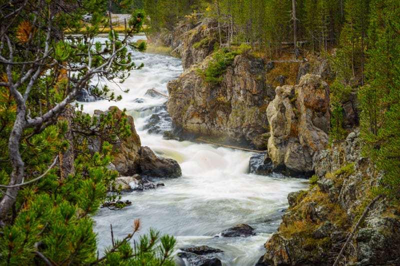
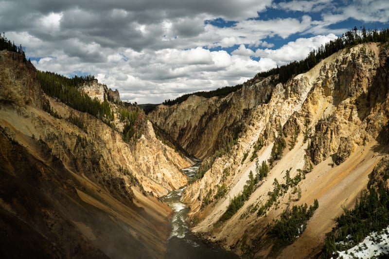
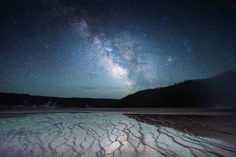
Our first frames are from late June 2024: the Milky Way over the runoff channels of Grand Prismatic Spring a little before midnight on June 28, then sunrise the next morning over the Grand Canyon of the Yellowstone from the South Rim, Norris Geyser Basin, and the cascades in Firehole Canyon. In late May 2025 the park was a stop on the drive north to Glacier, and we stood at the Brink of the Lower Falls with snowmelt running the river hard.
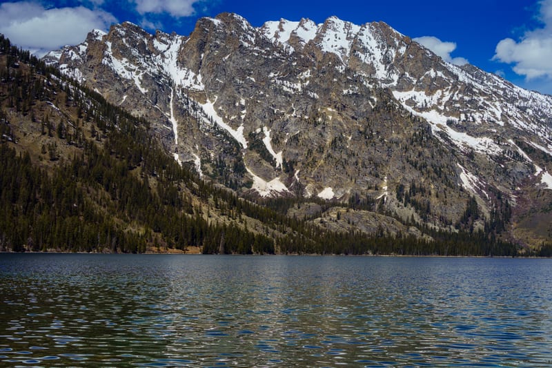
We came back in early May 2026. On May 2 we photographed a cinnamon black bear in Lamar Valley, on the road that stays open all winter. On May 3 we were at Cave Falls, in the park's southwest corner, and at Jenny Lake by midday. Teton Park Road had opened two days before. At the lake the range rose straight out of the water with snow still on the peaks, and on the Jenny Lake Trail a cow moose was feeding in the trees. That afternoon bison were spread across the sage on Elk Ranch Flats, south of Moran Junction.
On July 3, 2026, driving north to Bozeman, we stopped at Two Ocean Lake, photographed the Grand Teton from the north, and found a red fox on Flagg Ranch Road in the Rockefeller Parkway. That's where the Grassy Lake Road starts, 36 miles of gravel west to Ashton, Idaho, with high clearance recommended, and off it we've also photographed a huge moose. That evening we were over the line in Idaho at Lower Mesa Falls, on the Henrys Fork.
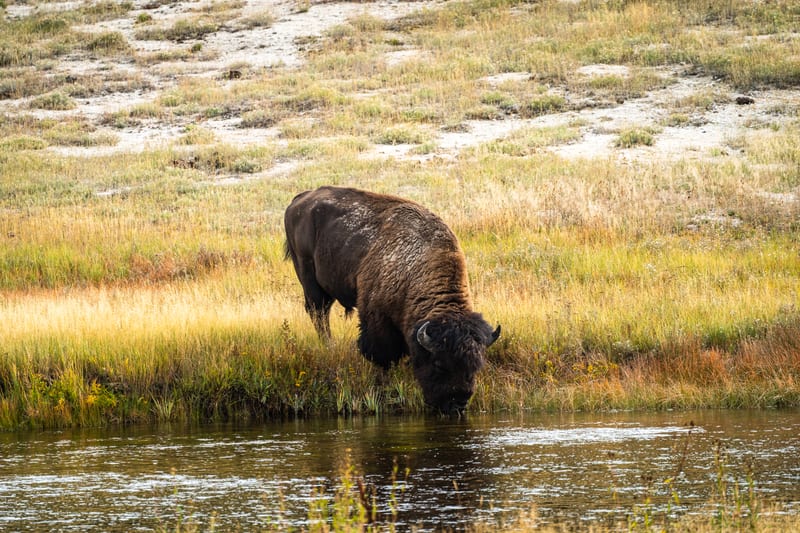
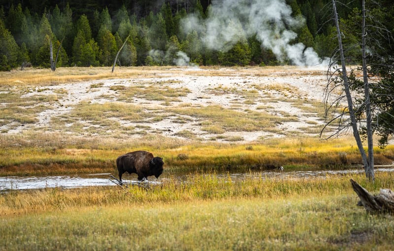
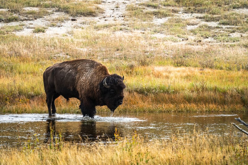
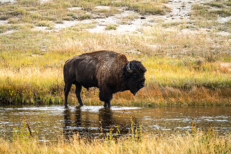
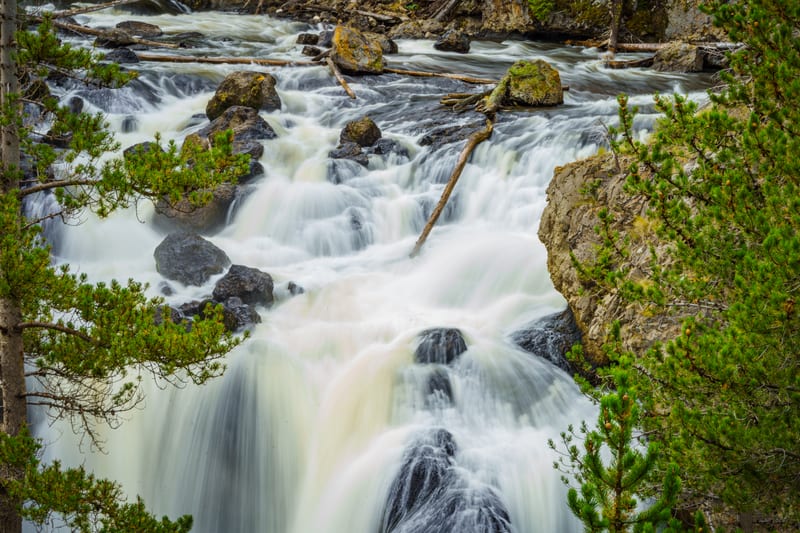
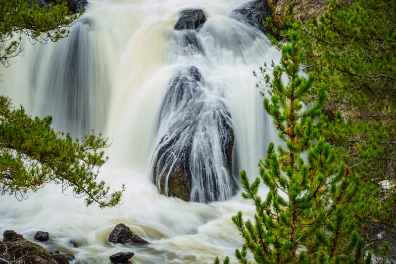
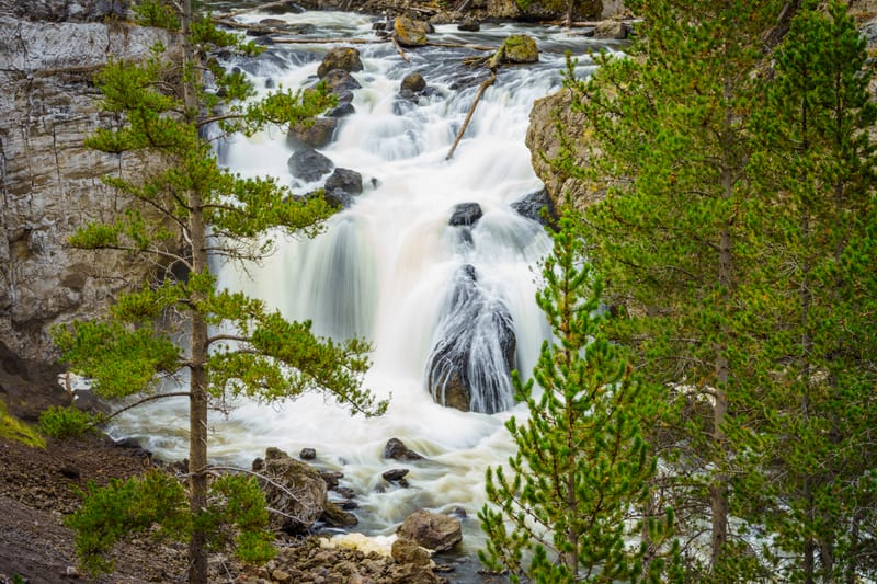
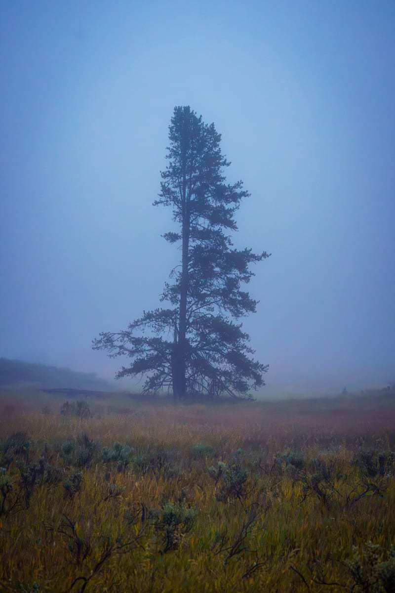
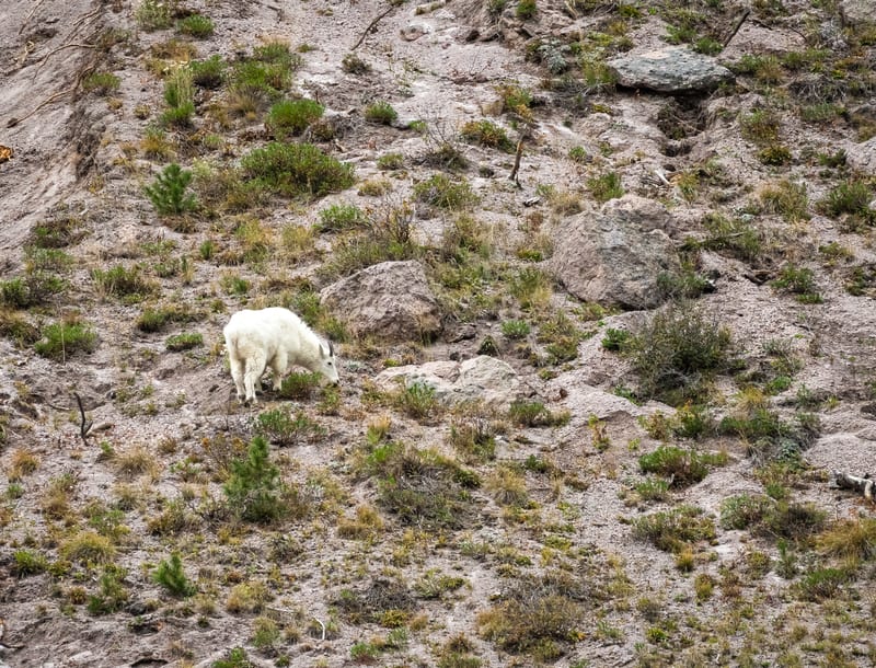
In September 2026 we spent a weekend based in Island Park. Sunday, September 20, began just after seven with a lone pine going in and out of the fog at Harriman State Park, geese on the Henrys Fork and a drone flight over Osborne Bridge. Then we drove into Yellowstone for the day: Firehole Falls a little before ten, slowed to half a second; bison working the channel at Mallard Creek, just north of Biscuit Basin, a little after eleven, with the grass turning gold and a geyser plume rising behind them; and early in the afternoon, a mountain goat on the scree between Gibbon Falls and Madison Junction. Mountain goats aren't native to Greater Yellowstone. The Park Service says they came from goats introduced in the Absaroka and Madison ranges in the 1940s and 1950s, and settled in the park in the 1990s.
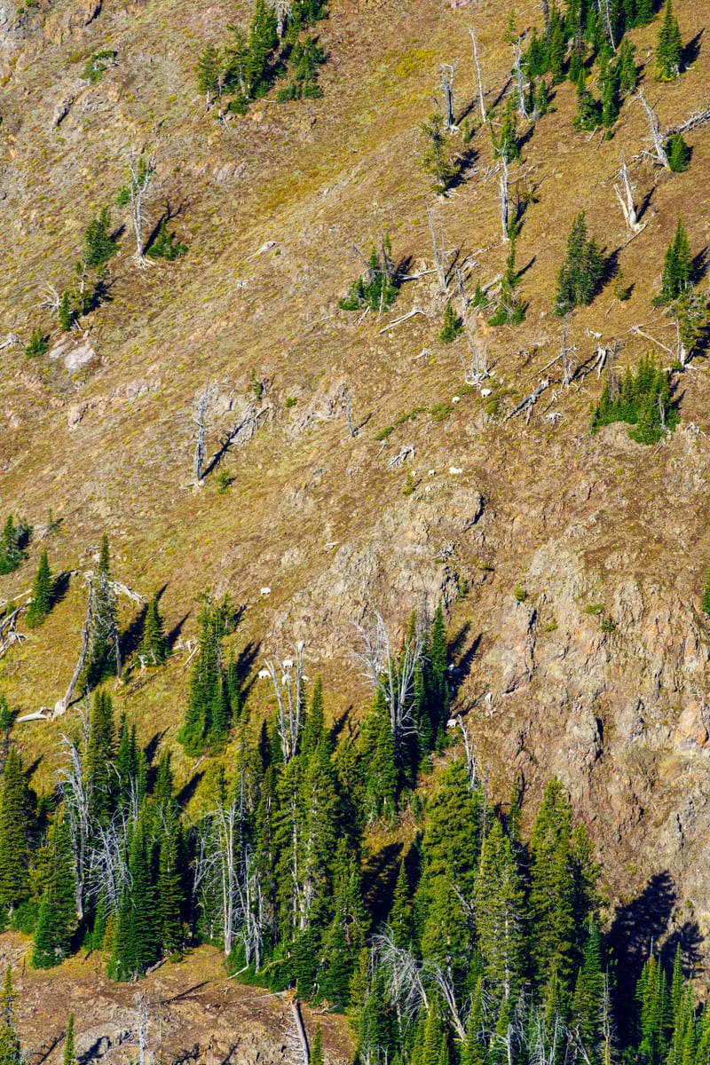
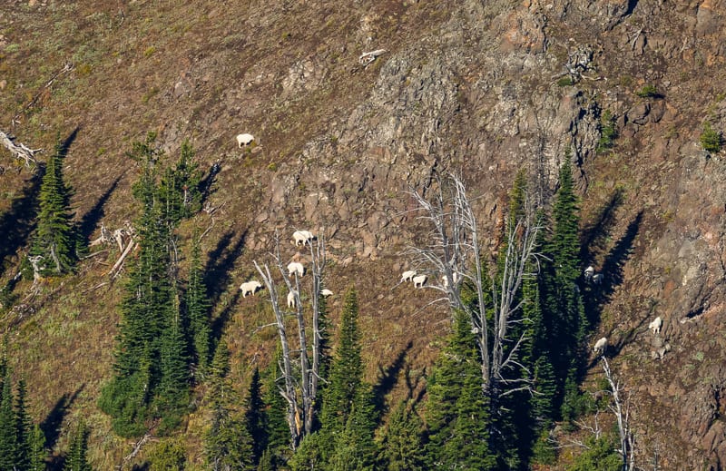
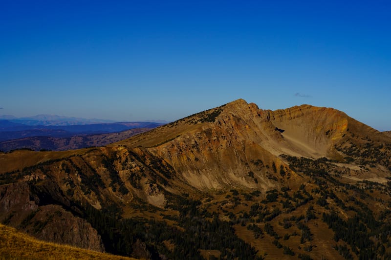
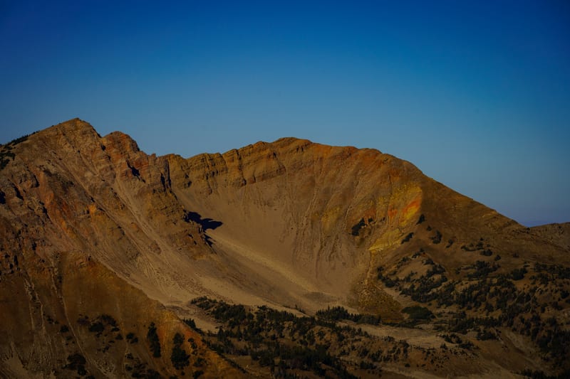
The next morning, September 21, we drove up Sawtell Peak Road. Near the top a band of mountain goats, nannies and kids among them, was working through the snags across the valley. From the summit the fog lay over Henrys Lake with the range behind it, and to the west Mount Jefferson, the high point of the Centennial Mountains, stood clear in the morning light.