 dust and starlight
Idaho
Island Park and Sawtell Peak
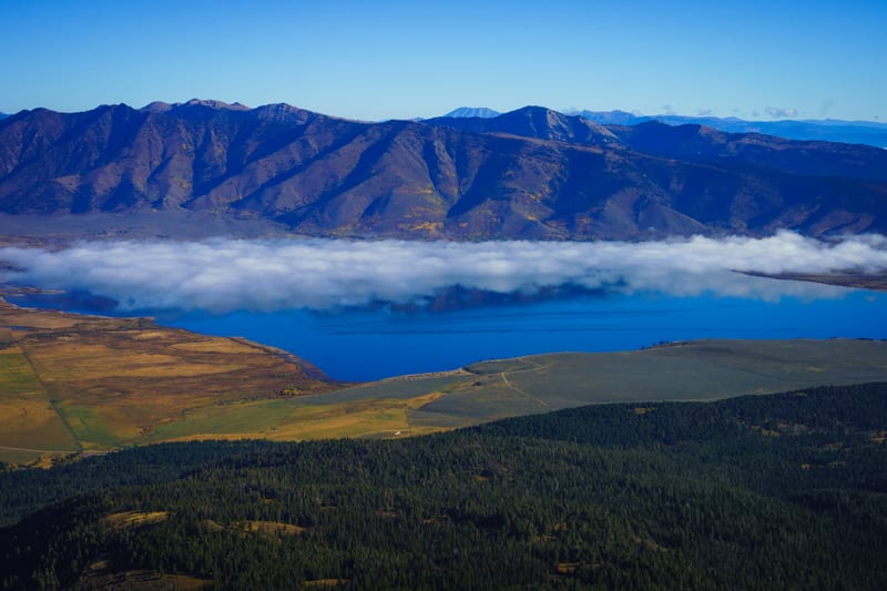
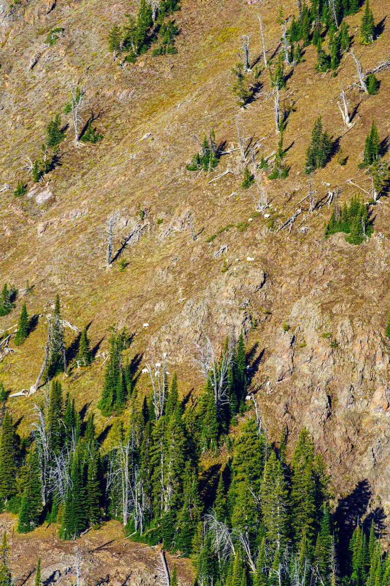
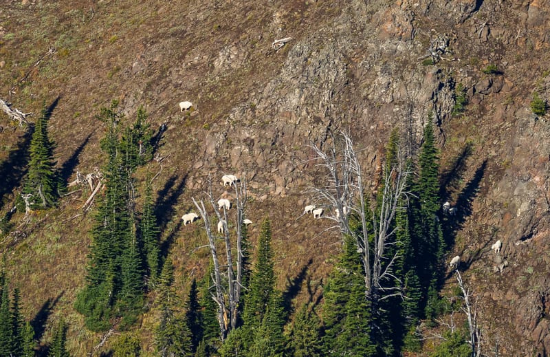
Sawtell Peak above Island Park: mountain goats in the snags on the drive up, and a fog bank over the valley from the summit, September 2026.
5 photos
When
We went the third weekend of September 2026. Saturday brought storms and a clouded-out night; by early Monday morning, around nine, the sky over Sawtell Peak was clear, with fog still lying in the valleys below. As of 2026, the road to the summit is closed every year from November 1 through June 1 for snow removal (Caribou-Targhee National Forest closure order 04-15-23-211), so summer and early fall are the window. The Forest Service says July and August are best for wildflowers.
Getting there
Sawtell Peak Road (Forest Road 024) turns west off US-20 about 1.5 miles north of Mack's Inn and climbs about 13 miles and 3,440 feet to the 9,866-foot summit; the Caribou-Targhee National Forest's Sawtell Peak Road page calls it well maintained, busy and a climb. It's a nice gravel road. You can't go into the radar dome on top, but there's plenty of parking and room to explore around the summit. If you meet mountain goats, Idaho Fish and Game asks you to photograph them from a safe distance, never feed them or let them lick salt or sweat, and scare them off if they come toward you.
About these photos
We spent a weekend based in Island Park in September 2026. Saturday was a loop over Red Rock Pass through Montana's Centennial Valley, where pronghorn were the find of the day, then Box Canyon on the Henrys Fork at golden hour. Sunday was a foggy dawn at Harriman State Park and a day in Yellowstone, and that night a GoPro ran star trails beside a creek until morning. Sawtell Peak was the last thing we did before the drive home.
We drove up Sawtell Peak Road early Monday morning, around nine, with the GoPro filming the whole climb. Near the top, a band of mountain goats, nannies and kids among them, was working through the snags on the slope across from us, and a few more were out on open scree. They were clear across the valley, so even at 400mm, the longest lens we had, these are hard crops. One frame holds nine goats.
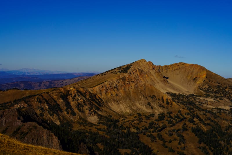
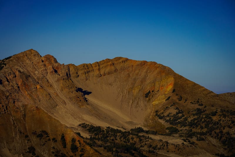
From the summit the morning was clear. A fog bank lay over Henrys Lake with the range behind it, and to the west Mount Jefferson, the high point of the Centennials, showed its whole bare massif and the strata of Rock Creek Basin face-on. Sam stood out on the rocky ridge with the caldera behind her, and we found the survey marker set in the lichen-covered rock. The whole drive up is on our YouTube channel.