 dust and starlight
Nevada
Great Basin National Park
Wheeler Peak, bristlecones thousands of years old, and a night sky certified by DarkSky International. A long drive across the Great Basin, and worth every mile.
Part of Great Basin and Utah's West Desert, in Utah, with its map and every photo from the region.
- Photographs
- 6
- Made
- September 2026
- Months
- September
6 photos
Field notes
When to go
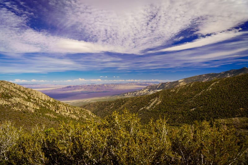
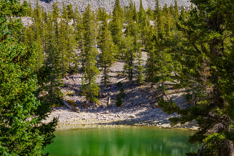
Our frames are from mid-September 2026, the weekend of the park's annual Astronomy Festival (Sept. 10–12 in 2026): on the Alpine Lakes Loop, Teresa Lake was running low and green, a mule deer stood below Stella Lake, a sparrow worked the talus, and there was cirrus over Snake Valley from the Wheeler Peak overlooks. The upper Wheeler Peak Scenic Drive is seasonal: NPS says it's usually open by Memorial Day weekend, and it closes to vehicles at Upper Lehman Creek Campground once the snow comes, generally by late October. The Alpine Lakes Loop itself is open year-round, but in winter you reach it on foot from below via the Lehman Creek Trail.
Access and rules
The Alpine Lakes Loop starts at the Bristlecone Trailhead at the end of the Wheeler Peak Scenic Drive, near 9,900 feet, and tops out a little above 10,400 feet under the wall of Wheeler Peak. The whole 12-mile scenic drive is paved, though vehicles and trailers over 24 feet aren't allowed past Upper Lehman Creek Campground. From Salt Lake City it's about 234 miles (NPS figure): I-15 south to US 6, west through Delta on US 6/50 to the Nevada line, then NV-487 to Baker and NV-488 into the park. As of 2026 there's no entrance fee (nps.gov/grba, Fees & Passes), and both visitor centers are staffed: Lehman Caves Visitor Center inside the park, and the Great Basin Visitor Center just north of Baker.
Entry and passes
No entrance fee. Lehman Caves tours and the campgrounds charge their own fees.
Our story
Great Basin is one of the least-visited national parks in the country, and most people drive past the turnoff. We still hadn't made it out until September 2026, when we went for the park's Astronomy Festival weekend.
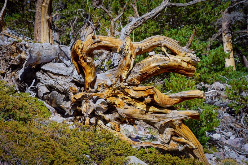
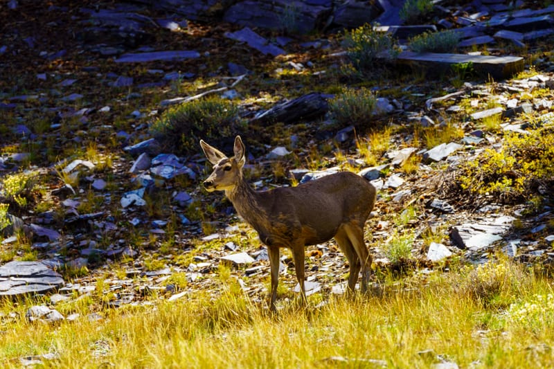
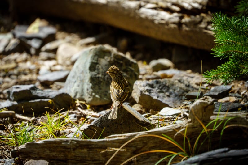
The daylight frames are from one hike up the Alpine Lakes Loop. Low down, a mule deer doe looked straight down the lens before letting us pass, and a fallen bristlecone's root, twisted by wind for longer than anyone has tracked, turned out to be the best detail we found all day. Higher up, past 10,000 feet, a sparrow worked the talus beside the trail as if we weren't there, and Teresa Lake sat low and green under a slope of talus and wind-bent pines. From the Wheeler Peak overlooks afterward, the view opens out over Snake Valley under a sky full of cirrus, looking back the way we'd come.
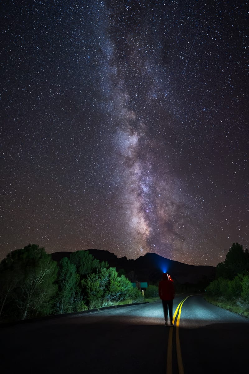
That night, in a park certified for its dark sky, the Milky Way stood over the mountains at the end of a park road, with a headlamp in the frame for scale.
Where the photos were made

Great Basin National Park: the spots are rounded to about a kilometre.
On film
Our YouTube channelNearest places
All placesAs the crow flies, from the center of Great Basin National Park to the center of each.