 dust and starlight
Relative elevation river models
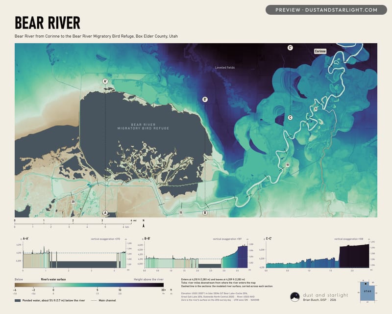
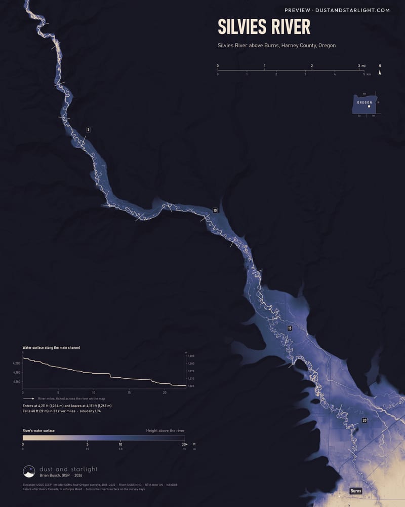
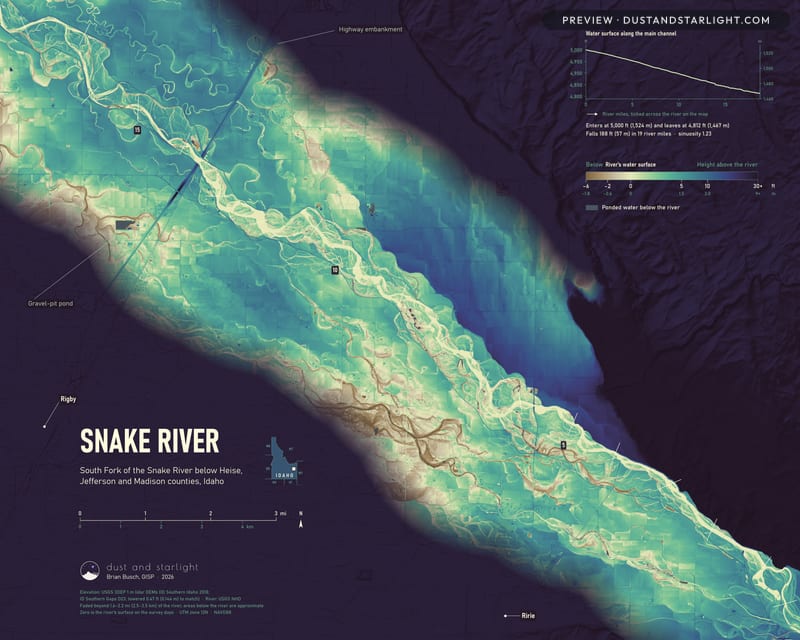
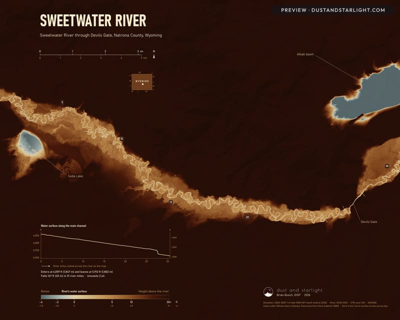
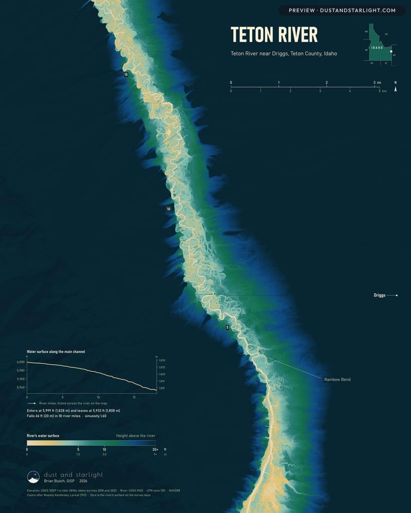
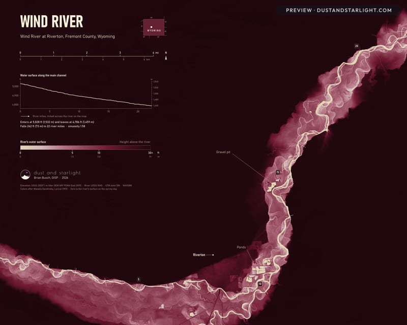
Each of these maps colors the land by how high it stands above the river’s water surface, from 0 to 30 ft (9 m), using USGS 3DEP lidar on a 1-meter grid. With the valley’s slope taken out, the floor shows the channels the river has left behind, the terraces above them and the low ground a flood would reach first.
NMFA makes every map to order in its own 4:5 shape, so nothing is cropped from its edges, from 16 × 20 in to 32 × 40 in, and larger by request.
Want a place we haven't mapped yet? Write to us.